

Land Use 2025 - RhodeMap RI
Land Use 2025 - RhodeMap RI
Land Use 2025 - RhodeMap RI
- No tags were found...

You also want an ePaper? Increase the reach of your titles
YUMPU automatically turns print PDFs into web optimized ePapers that Google loves.
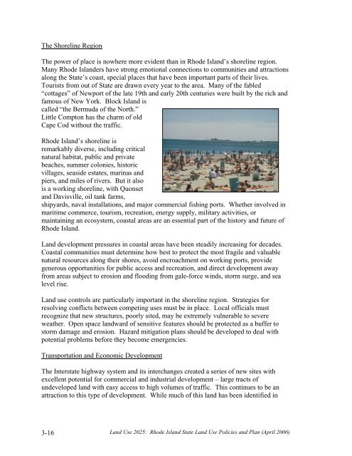
The Shoreline RegionThe power of place is nowhere more evident than in Rhode Island’s shoreline region.Many Rhode Islanders have strong emotional connections to communities and attractionsalong the State’s coast, special places that have been important parts of their lives.Tourists from out of State are drawn every year to the area. Many of the fabled“cottages” of Newport of the late 19th and early 20th centuries were built by the rich andfamous of New York. Block Island iscalled “the Bermuda of the North.”Little Compton has the charm of oldCape Cod without the traffic.Rhode Island’s shoreline isremarkably diverse, including criticalnatural habitat, public and privatebeaches, summer colonies, historicvillages, seaside estates, marinas andpiers, and miles of rivers. But it alsois a working shoreline, with Quonsetand Davisville, oil tank farms,shipyards, naval installations, and major commercial fishing ports. Whether involved inmaritime commerce, tourism, recreation, energy supply, military activities, ormaintaining an ecosystem, coastal areas are an essential part of the history and future ofRhode Island.<strong>Land</strong> development pressures in coastal areas have been steadily increasing for decades.Coastal communities must determine how best to protect the most fragile and valuablenatural resources along their shores, avoid encroachment on working ports, providegenerous opportunities for public access and recreation, and direct development awayfrom areas subject to erosion and flooding from gale-force winds, storm surge, and sealevel rise.<strong>Land</strong> use controls are particularly important in the shoreline region. Strategies forresolving conflicts between competing uses must be in place. Local officials mustrecognize that new structures, poorly sited, may be extremely vulnerable to severeweather. Open space landward of sensitive features should be protected as a buffer tostorm damage and erosion. Hazard mitigation plans should be developed to deal withpotential problems before they become emergencies.Transportation and Economic DevelopmentThe Interstate highway system and its interchanges created a series of new sites withexcellent potential for commercial and industrial development – large tracts ofundeveloped land with easy access to high volumes of traffic. This continues to be anattraction to this type of development. While much of this land has been identified in3-16<strong>Land</strong> <strong>Use</strong> <strong>2025</strong>: Rhode Island State <strong>Land</strong> <strong>Use</strong> Policies and Plan (April 2006)


