

Land Use 2025 - RhodeMap RI
Land Use 2025 - RhodeMap RI
Land Use 2025 - RhodeMap RI
- No tags were found...

You also want an ePaper? Increase the reach of your titles
YUMPU automatically turns print PDFs into web optimized ePapers that Google loves.
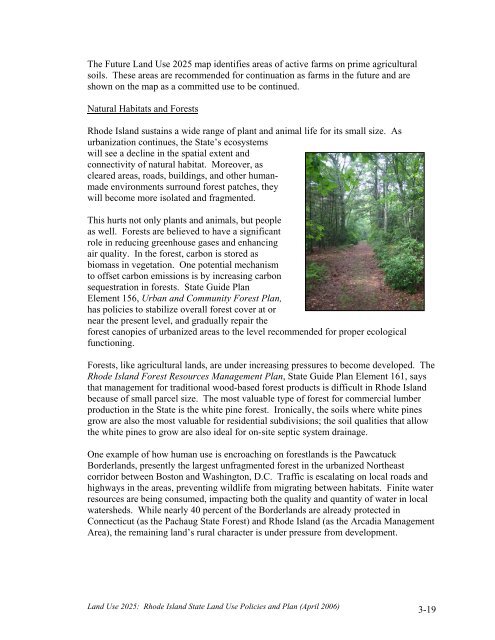
The Future <strong>Land</strong> <strong>Use</strong> <strong>2025</strong> map identifies areas of active farms on prime agriculturalsoils. These areas are recommended for continuation as farms in the future and areshown on the map as a committed use to be continued.Natural Habitats and ForestsRhode Island sustains a wide range of plant and animal life for its small size. Asurbanization continues, the State’s ecosystemswill see a decline in the spatial extent andconnectivity of natural habitat. Moreover, ascleared areas, roads, buildings, and other humanmadeenvironments surround forest patches, theywill become more isolated and fragmented.This hurts not only plants and animals, but peopleas well. Forests are believed to have a significantrole in reducing greenhouse gases and enhancingair quality. In the forest, carbon is stored asbiomass in vegetation. One potential mechanismto offset carbon emissions is by increasing carbonsequestration in forests. State Guide PlanElement 156, Urban and Community Forest Plan,has policies to stabilize overall forest cover at ornear the present level, and gradually repair theforest canopies of urbanized areas to the level recommended for proper ecologicalfunctioning.Forests, like agricultural lands, are under increasing pressures to become developed. TheRhode Island Forest Resources Management Plan, State Guide Plan Element 161, saysthat management for traditional wood-based forest products is difficult in Rhode Islandbecause of small parcel size. The most valuable type of forest for commercial lumberproduction in the State is the white pine forest. Ironically, the soils where white pinesgrow are also the most valuable for residential subdivisions; the soil qualities that allowthe white pines to grow are also ideal for on-site septic system drainage.One example of how human use is encroaching on forestlands is the PawcatuckBorderlands, presently the largest unfragmented forest in the urbanized Northeastcorridor between Boston and Washington, D.C. Traffic is escalating on local roads andhighways in the areas, preventing wildlife from migrating between habitats. Finite waterresources are being consumed, impacting both the quality and quantity of water in localwatersheds. While nearly 40 percent of the Borderlands are already protected inConnecticut (as the Pachaug State Forest) and Rhode Island (as the Arcadia ManagementArea), the remaining land’s rural character is under pressure from development.<strong>Land</strong> <strong>Use</strong> <strong>2025</strong>: Rhode Island State <strong>Land</strong> <strong>Use</strong> Policies and Plan (April 2006)3-19


