Land Use 2025 - RhodeMap RI
Land Use 2025 - RhodeMap RI
Land Use 2025 - RhodeMap RI
- No tags were found...
You also want an ePaper? Increase the reach of your titles
YUMPU automatically turns print PDFs into web optimized ePapers that Google loves.
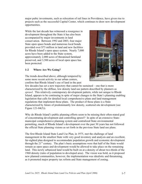
major pubic investments, such as relocation of rail lines in Providence, have given rise toprojects such as the successful Capital Center, which continues to draw new developmentopportunities.While the last decade has witnessed a resurgence indevelopment throughout the State it has also beenaccompanied by major investments in landconservation. Between 1992 and 2003, four majorState open space bonds and numerous local bondsprovided over $73 million in land and new facilitiesfor Rhode Island’s open space system. Nearly 7,000acres have been added to the State system,approximately 2,000 acres of threatened farmlandpreserved, and 3,500 acres of local open space hasbeen protected.1-2 Where Are We Going?The trends described above, although tempered bysome more recent activity in our urban centers,confirm that Rhode Island’s use of land in the pastfew decades has set a new trajectory that cannot be sustained – one that is morecharacterized by the diffuse, low density land use pattern described by planners assprawl. This relatively contemporary development pattern, while not unique to RhodeIsland, appears to be continuing in spite of major changes to the State’s planning enablinglegislation that calls for detailed local comprehensive plans and land managementregulations that implement those plans. The product of those plans is a Statecharacterized by future of predominantly low density, scattered site development (seeFigure 121-04(5)).Why do Rhode Island’s public planning efforts seem to be missing their often-stated goalof concentrating development and controlling sprawl? In spite of an extensive Statemunicipalcomprehensive planning system and centralized State environmentalpermitting, much of Rhode Island’s development over the past 30 years has not followedthe official State planning visions as set forth in the previous State land use plans.The first Rhode Island State <strong>Land</strong> <strong>Use</strong> Plan, in 1975, met the challenge of landmanagement in the smallest State with very good inventory and analysis and an excellent,far-sighted plan designed to accommodate population growth and economic developmentthrough the 21 st century. The plan’s basic assumptions were that half of the State wouldremain as open space and development would be allowed to take place on the remainingland. This newly urbanized land would be built on at a density of about two-thirds of the1960 density (ratio of population to developed area). The vision was bold, as it proposednew planned communities, however, the implementation was idealistic and threatening,as it promoted major property tax reform and State management of zoning.<strong>Land</strong> <strong>Use</strong> <strong>2025</strong>: Rhode Island State <strong>Land</strong> <strong>Use</strong> Policies and Plan (April 2006) 1-7


