Land Use 2025 - RhodeMap RI
Land Use 2025 - RhodeMap RI
Land Use 2025 - RhodeMap RI
- No tags were found...
You also want an ePaper? Increase the reach of your titles
YUMPU automatically turns print PDFs into web optimized ePapers that Google loves.
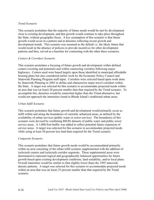
Trend ScenarioThis scenario postulates that the majority of future needs would be met by developmentclose to existing development, and that growth would continue to take place throughoutthe State, without geographic focus. A key assumption of this scenario is that futuregrowth would occur in a pattern and at densities reflecting recent growth anddevelopment trends. This scenario was assumed as the default i.e. the likely future thatwould result in the absence of policies to provide incentives for other developmentpatterns and thus, served as a baseline for contrasting with the other three scenarios.Centers & Corridors ScenarioThis scenario postulates a focusing of future growth and development within definedcenters (existing and potential) and within connecting corridors following majorhighways. Centers used were based largely upon those identified in municipal affordablehousing plans but also considered earlier work by the Economic Policy Council andStatewide Planning Program staff input. Corridors were selected based upon work doneby Statewide Planning in 2003 to define and characterize major travel corridors withinthe State. A target was selected for this scenario to accommodate projected needs withinan area that was (at least) 20 percent smaller than that required by the Trend scenario. Toaccomplish this, densities would be somewhat higher than the Trend alternative, butwould not approach the intensities found in Rhode Island’s traditional urban areas.Urban Infill ScenarioThis scenario postulates that future growth and development would primarily occur asinfill within and along the boundaries of currently urbanized areas, as defined by theavailability of urban services (public water or sewer service). The boundaries of thisscenario were devised by combining <strong>RI</strong>GIS datasets of public water and public sewerservice areas. A 1,000-foot buffer was added to reflect potential future expansion ofservice areas. A target was selected for this scenario to accommodate projected needswhile using at least 30 percent less land than required for the Trend scenario.Composite ScenarioThis scenario postulates that future growth needs would be accommodated primarilywithin an area consisting of the urban infill scenario supplemented with the addition of(selected) centers and (selected) corridor segments. These supplemental areas weredetermined to represent logical and geographically balanced opportunities for futuregrowth based upon existing development conditions, land suitability, and/or local plans.Overall intensities would be similar to (but slightly lower than) the 1995 statewidedensity patterns. A target was selected for this scenario to accommodate projected needswithin an area that was (at least) 35 percent smaller than that required by the Trendscenario.4-16<strong>Land</strong> <strong>Use</strong> <strong>2025</strong>: Rhode Island State <strong>Land</strong> <strong>Use</strong> Policies and Plan (April 2006)


