INVERSION OF SYNTHETIC APERTUR,E R,ADAR (SAR) - MSpace ...
INVERSION OF SYNTHETIC APERTUR,E R,ADAR (SAR) - MSpace ...
INVERSION OF SYNTHETIC APERTUR,E R,ADAR (SAR) - MSpace ...
You also want an ePaper? Increase the reach of your titles
YUMPU automatically turns print PDFs into web optimized ePapers that Google loves.
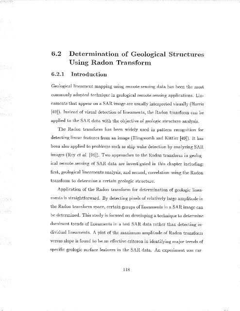
6.2 Determination of Geological Structures<br />
Using Radon Transform<br />
6,2.L Introduction<br />
Geological linealnent mapping using r.emote sensing clata has been the most<br />
corlmonly adoptecl technique il geological r.emote sensing applications. Lineameuts<br />
that appeal on a <strong>SAR</strong> image are usually interpreted visually (Har.r.is<br />
[40]). lnstead of visual detection of lineaneuts, the Radon transform can be<br />
applied to the <strong>SAR</strong> data with the objective of geologic str.uctule analysis.<br />
The R¿clon tlansforln has been widely used in patteur recognition for<br />
cletecting linear featules fi'orn an image (Illingworth ancl I{ittler [ag]). It has<br />
been also appliecl to problems such as shi¡r wake detection by analyzing <strong>SAR</strong><br />
inrages (Rey et al. l9al. Trvo approaches to the Raclon transforrn in geological<br />
remote sensing of <strong>SAR</strong> data ar.e investigatecl in this chapter incluclilg:<br />
first, geological lineaments analysis, ancl seconcl, cor.relation using the Raclon<br />
tlansfolm to cletelrnine a certain geologic stlucture.<br />
Application of the Radon transfonn for detelrnination of geologic lineaments<br />
is stlaightfortvald. By detecting pixels of relatively lar.ge aurplituile in<br />
the Radon tlansforrn space, celtain gr.oups of linearnents in a <strong>SAR</strong> image can<br />
be cletemrinecl. This stucly is focused on cleveloping a technique to detelrnine<br />
dominant tlencls of litear¡ents in a test <strong>SAR</strong> data rather. th¿l detectirrg inclividual<br />
lineaments. A plot of the maximurn aurplitude of Radon tralsfor.nt<br />
versus slope is founcl to l¡e an effective cl.iter.on in icleltifying major.tr.erds of<br />
specific geoìogic sru'face features in the <strong>SAR</strong> data. An experiuent was car'-<br />
118


![an unusual bacterial isolate from in partial fulf]lment for the ... - MSpace](https://img.yumpu.com/21942008/1/190x245/an-unusual-bacterial-isolate-from-in-partial-fulflment-for-the-mspace.jpg?quality=85)



![in partial fulfil]ment of the - MSpace - University of Manitoba](https://img.yumpu.com/21941988/1/190x245/in-partial-fulfilment-of-the-mspace-university-of-manitoba.jpg?quality=85)
