

A Natural Resource Management Guide for the County of Morris A ...
A Natural Resource Management Guide for the County of Morris A ...
A Natural Resource Management Guide for the County of Morris A ...

Create successful ePaper yourself
Turn your PDF publications into a flip-book with our unique Google optimized e-Paper software.
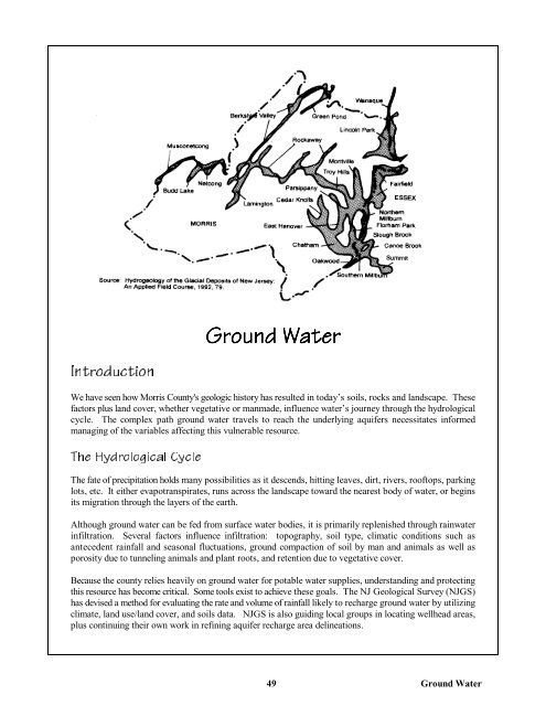
Ground Water<br />
Introduction<br />
We have seen how <strong>Morris</strong> <strong>County</strong>'s geologic history has resulted in today’s soils, rocks and landscape. These<br />
factors plus land cover, whe<strong>the</strong>r vegetative or manmade, influence water’s journey through <strong>the</strong> hydrological<br />
cycle. The complex path ground water travels to reach <strong>the</strong> underlying aquifers necessitates in<strong>for</strong>med<br />
managing <strong>of</strong> <strong>the</strong> variables affecting this vulnerable resource.<br />
The Hydrological Cycle<br />
The fate <strong>of</strong> precipitation holds many possibilities as it descends, hitting leaves, dirt, rivers, ro<strong>of</strong>tops, parking<br />
lots, etc. It ei<strong>the</strong>r evapotranspirates, runs across <strong>the</strong> landscape toward <strong>the</strong> nearest body <strong>of</strong> water, or begins<br />
its migration through <strong>the</strong> layers <strong>of</strong> <strong>the</strong> earth.<br />
Although ground water can be fed from surface water bodies, it is primarily replenished through rainwater<br />
infiltration. Several factors influence infiltration: topography, soil type, climatic conditions such as<br />
antecedent rainfall and seasonal fluctuations, ground compaction <strong>of</strong> soil by man and animals as well as<br />
porosity due to tunneling animals and plant roots, and retention due to vegetative cover.<br />
Because <strong>the</strong> county relies heavily on ground water <strong>for</strong> potable water supplies, understanding and protecting<br />
this resource has become critical. Some tools exist to achieve <strong>the</strong>se goals. The NJ Geological Survey (NJGS)<br />
has devised a method <strong>for</strong> evaluating <strong>the</strong> rate and volume <strong>of</strong> rainfall likely to recharge ground water by utilizing<br />
climate, land use/land cover, and soils data. NJGS is also guiding local groups in locating wellhead areas,<br />
plus continuing <strong>the</strong>ir own work in refining aquifer recharge area delineations.<br />
49<br />
Ground Water