65th IHC Booklet/Program (pdf - 4.9MB) - Office of the Federal ...
65th IHC Booklet/Program (pdf - 4.9MB) - Office of the Federal ...
65th IHC Booklet/Program (pdf - 4.9MB) - Office of the Federal ...
You also want an ePaper? Increase the reach of your titles
YUMPU automatically turns print PDFs into web optimized ePapers that Google loves.
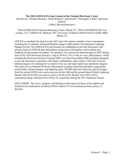
The 2010 GOES-R Proving Ground at <strong>the</strong> National Hurricane Center<br />
Jack Beven 1 , Michael Brennan 1 , Mark DeMaria 2 , John Knaff 2 , Christopher Velden 3 and Jason<br />
Dunion 4<br />
(John.L.Beven@noaa.gov)<br />
1 NOAA/NWS/NCEP National Hurricane Center, Miami, FL; 2 NOAA/NESDIS/STAR, Fort<br />
Collins, CO; 3 CIMSS/UW, Madison, WI; 4 University <strong>of</strong> Miami/CIMAS-NOAA/AOML/HRD,<br />
Miami, FL<br />
GOES-R is scheduled for launch in late 2015 and will contain a number <strong>of</strong> new instruments,<br />
including <strong>the</strong> 16-channel Advanced Baseline Imager (ABI) and <strong>the</strong> Geostationary Lightning<br />
Mapper (GLM). The GOES-R Proving Ground was established to provide forecasters with<br />
advance looks at GOES-R data and products using proxy information, and to obtain user<br />
feedback for <strong>the</strong> product developers. Six products were chosen for demonstration at NHC during<br />
most <strong>of</strong> <strong>the</strong> 2010 Hurricane Season (1 Aug to 30 Nov). Five <strong>of</strong> <strong>the</strong> six were ABI products, which<br />
included <strong>the</strong> Hurricane Intensity Estimate (HIE), two Red-Green-Blue (RBG) products designed<br />
to provide forecasters experience with image combinations, split window (10.8 and 12.0 µm)<br />
infrared imagery for tracking low to mid-level dry air, and super-rapid scan operations imagery.<br />
The sixth was a combined GLM and ABI product to predict rapid intensification using global<br />
model fields, infrared imagery and lightning input. SEVIRI data from Meteosat and <strong>the</strong> imager<br />
from <strong>the</strong> current GOES were used as proxies for <strong>the</strong> ABI and <strong>the</strong> ground-based Global Lightning<br />
Dataset 360 (GLD-360) was used as a proxy for <strong>the</strong> GLM. Results from 2010 will be<br />
summarized along with plans for a follow-on experiment during <strong>the</strong> 2011 Hurricane Season.<br />
DISCLAIMER: The views, opinions, and findings in this report are those <strong>of</strong> <strong>the</strong> authors and<br />
should not be construed as an <strong>of</strong>ficial NOAA and/or U.S. Government position, policy, or<br />
decision.<br />
Session 3 – Page 3


