65th IHC Booklet/Program (pdf - 4.9MB) - Office of the Federal ...
65th IHC Booklet/Program (pdf - 4.9MB) - Office of the Federal ...
65th IHC Booklet/Program (pdf - 4.9MB) - Office of the Federal ...
You also want an ePaper? Increase the reach of your titles
YUMPU automatically turns print PDFs into web optimized ePapers that Google loves.
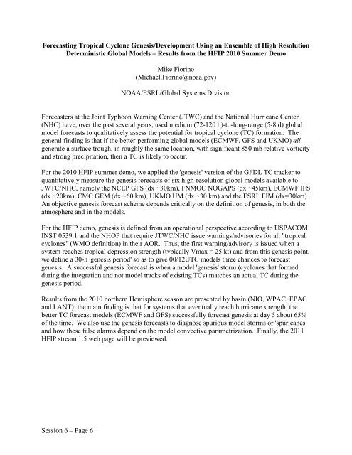
Forecasting Tropical Cyclone Genesis/Development Using an Ensemble <strong>of</strong> High Resolution<br />
Deterministic Global Models – Results from <strong>the</strong> HFIP 2010 Summer Demo<br />
Mike Fiorino<br />
(Michael.Fiorino@noaa.gov)<br />
NOAA/ESRL/Global Systems Division<br />
Forecasters at <strong>the</strong> Joint Typhoon Warning Center (JTWC) and <strong>the</strong> National Hurricane Center<br />
(NHC) have, over <strong>the</strong> past several years, used medium (72-120 h)-to-long-range (5-8 d) global<br />
model forecasts to qualitatively assess <strong>the</strong> potential for tropical cyclone (TC) formation. The<br />
general finding is that if <strong>the</strong> better-performing global models (ECMWF, GFS and UKMO) all<br />
generate a surface trough, in roughly <strong>the</strong> same location, with significant 850 mb relative vorticity<br />
and strong precipitation, <strong>the</strong>n a TC is likely to occur.<br />
For <strong>the</strong> 2010 HFIP summer demo, we applied <strong>the</strong> 'genesis' version <strong>of</strong> <strong>the</strong> GFDL TC tracker to<br />
quantitatively measure <strong>the</strong> genesis forecasts <strong>of</strong> six high-resolution global models available to<br />
JWTC/NHC, namely <strong>the</strong> NCEP GFS (dx ~30km), FNMOC NOGAPS (dx ~45km), ECMWF IFS<br />
(dx ~20km), CMC GEM (dx ~60 km), UKMO UM (dx ~30 km) and <strong>the</strong> ESRL FIM (dx=30km).<br />
An objective genesis forecast scheme depends critically on <strong>the</strong> definition <strong>of</strong> genesis, in both <strong>the</strong><br />
atmosphere and in <strong>the</strong> models.<br />
For <strong>the</strong> HFIP demo, genesis is defined from an operational perspective according to USPACOM<br />
INST 0539.1 and <strong>the</strong> NHOP that require JTWC/NHC issue warnings/advisories for all "tropical<br />
cyclones" (WMO definition) in <strong>the</strong>ir AOR. Thus, <strong>the</strong> first warning/advisory is issued when a<br />
system reaches tropical depression strength (typically Vmax = 25 kt) and from this genesis point,<br />
we define a 30-h 'genesis period' so as to give 00/12UTC models three chances to forecast<br />
genesis. A successful genesis forecast is when a model 'genesis' storm (cyclones that formed<br />
during <strong>the</strong> integration and not model tracks <strong>of</strong> existing TCs) matches an actual TC during <strong>the</strong><br />
genesis period.<br />
Results from <strong>the</strong> 2010 nor<strong>the</strong>rn Hemisphere season are presented by basin (NIO, WPAC, EPAC<br />
and LANT); <strong>the</strong> main finding is that for systems that eventually reach hurricane strength, <strong>the</strong><br />
better TC forecast models (ECMWF and GFS) successfully forecast genesis at day 5 about 65%<br />
<strong>of</strong> <strong>the</strong> time. We also use <strong>the</strong> genesis forecasts to diagnose spurious model storms or 'spuricanes'<br />
and how <strong>the</strong>se false alarms depend on <strong>the</strong> model convective parametrization. Finally, <strong>the</strong> 2011<br />
HFIP stream 1.5 web page will be previewed.<br />
Session 6 – Page 6


