65th IHC Booklet/Program (pdf - 4.9MB) - Office of the Federal ...
65th IHC Booklet/Program (pdf - 4.9MB) - Office of the Federal ...
65th IHC Booklet/Program (pdf - 4.9MB) - Office of the Federal ...
You also want an ePaper? Increase the reach of your titles
YUMPU automatically turns print PDFs into web optimized ePapers that Google loves.
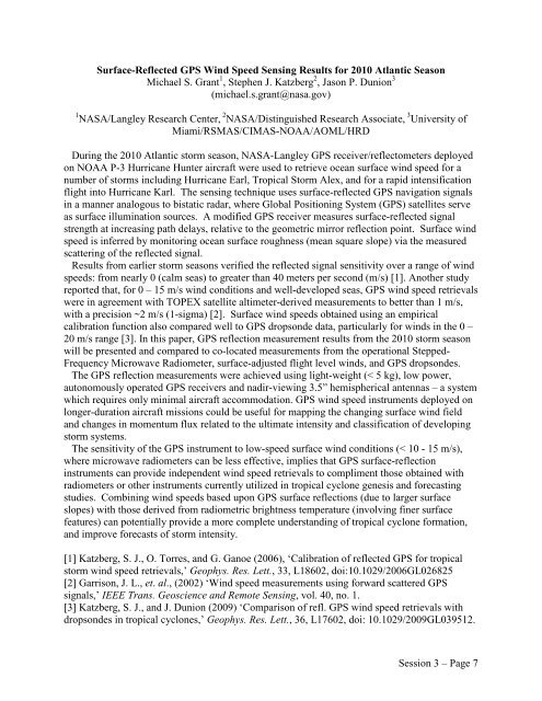
Surface-Reflected GPS Wind Speed Sensing Results for 2010 Atlantic Season<br />
Michael S. Grant 1 , Stephen J. Katzberg 2 , Jason P. Dunion 3<br />
(michael.s.grant@nasa.gov)<br />
1 NASA/Langley Research Center, 2 NASA/Distinguished Research Associate, 3 University <strong>of</strong><br />
Miami/RSMAS/CIMAS-NOAA/AOML/HRD<br />
During <strong>the</strong> 2010 Atlantic storm season, NASA-Langley GPS receiver/reflectometers deployed<br />
on NOAA P-3 Hurricane Hunter aircraft were used to retrieve ocean surface wind speed for a<br />
number <strong>of</strong> storms including Hurricane Earl, Tropical Storm Alex, and for a rapid intensification<br />
flight into Hurricane Karl. The sensing technique uses surface-reflected GPS navigation signals<br />
in a manner analogous to bistatic radar, where Global Positioning System (GPS) satellites serve<br />
as surface illumination sources. A modified GPS receiver measures surface-reflected signal<br />
strength at increasing path delays, relative to <strong>the</strong> geometric mirror reflection point. Surface wind<br />
speed is inferred by monitoring ocean surface roughness (mean square slope) via <strong>the</strong> measured<br />
scattering <strong>of</strong> <strong>the</strong> reflected signal.<br />
Results from earlier storm seasons verified <strong>the</strong> reflected signal sensitivity over a range <strong>of</strong> wind<br />
speeds: from nearly 0 (calm seas) to greater than 40 meters per second (m/s) [1]. Ano<strong>the</strong>r study<br />
reported that, for 0 – 15 m/s wind conditions and well-developed seas, GPS wind speed retrievals<br />
were in agreement with TOPEX satellite altimeter-derived measurements to better than 1 m/s,<br />
with a precision ~2 m/s (1-sigma) [2]. Surface wind speeds obtained using an empirical<br />
calibration function also compared well to GPS dropsonde data, particularly for winds in <strong>the</strong> 0 –<br />
20 m/s range [3]. In this paper, GPS reflection measurement results from <strong>the</strong> 2010 storm season<br />
will be presented and compared to co-located measurements from <strong>the</strong> operational Stepped-<br />
Frequency Microwave Radiometer, surface-adjusted flight level winds, and GPS dropsondes.<br />
The GPS reflection measurements were achieved using light-weight (< 5 kg), low power,<br />
autonomously operated GPS receivers and nadir-viewing 3.5” hemispherical antennas – a system<br />
which requires only minimal aircraft accommodation. GPS wind speed instruments deployed on<br />
longer-duration aircraft missions could be useful for mapping <strong>the</strong> changing surface wind field<br />
and changes in momentum flux related to <strong>the</strong> ultimate intensity and classification <strong>of</strong> developing<br />
storm systems.<br />
The sensitivity <strong>of</strong> <strong>the</strong> GPS instrument to low-speed surface wind conditions (< 10 - 15 m/s),<br />
where microwave radiometers can be less effective, implies that GPS surface-reflection<br />
instruments can provide independent wind speed retrievals to compliment those obtained with<br />
radiometers or o<strong>the</strong>r instruments currently utilized in tropical cyclone genesis and forecasting<br />
studies. Combining wind speeds based upon GPS surface reflections (due to larger surface<br />
slopes) with those derived from radiometric brightness temperature (involving finer surface<br />
features) can potentially provide a more complete understanding <strong>of</strong> tropical cyclone formation,<br />
and improve forecasts <strong>of</strong> storm intensity.<br />
[1] Katzberg, S. J., O. Torres, and G. Ganoe (2006), ‘Calibration <strong>of</strong> reflected GPS for tropical<br />
storm wind speed retrievals,’ Geophys. Res. Lett., 33, L18602, doi:10.1029/2006GL026825<br />
[2] Garrison, J. L., et. al., (2002) ‘Wind speed measurements using forward scattered GPS<br />
signals,’ IEEE Trans. Geoscience and Remote Sensing, vol. 40, no. 1.<br />
[3] Katzberg, S. J., and J. Dunion (2009) ‘Comparison <strong>of</strong> refl. GPS wind speed retrievals with<br />
dropsondes in tropical cyclones,’ Geophys. Res. Lett., 36, L17602, doi: 10.1029/2009GL039512.<br />
Session 3 – Page 7


