Workbench Release History
Workbench Release History
Workbench Release History
You also want an ePaper? Increase the reach of your titles
YUMPU automatically turns print PDFs into web optimized ePapers that Google loves.
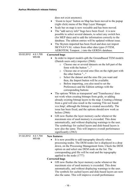
Aarhus <strong>Workbench</strong> release history<br />
03.02.2012 4.0.1.705<br />
WS 69<br />
01.02.2012 4.0.1.704<br />
WS 69<br />
<br />
<br />
<br />
<br />
does not exist anymore).<br />
‘Zoom to layer’ button on Map has been moved to the popup<br />
(right click) menu of the Map Layer Manager.<br />
Scale bar on map is now resizable and has been moved.<br />
The "add survey info" bugs have been fixed : it is now<br />
possible to select several datasets, to select any switch box<br />
(for MEP data) and to add the information correctly to the<br />
database. The edition entries will be updated without issue.<br />
The Skytem imported has been fixed and does not import<br />
SKYNAVVAL values from other data types (VTEM,<br />
AEROTEM, Tempest...) into the GERDA database.<br />
Corrected bugs<br />
In order to import models qith the Groundbased TEM models<br />
(Danish users only) importer (2968):<br />
o Choose one or several datasets on the left part of the<br />
form with the button "..."<br />
o Choose one or several emo files on the right part with<br />
the other button "..."<br />
o Select the dataset and the emo file you want and<br />
then, the Import button will be available.<br />
o Before importing, you also need to set the<br />
Preferences and the Edition settings with the<br />
corresponding buttons<br />
The options 'White as transparent' and 'Translucency' does<br />
not work when creating bitmaps from grids, or adding<br />
already existing bitmap layers to the map. Creating a bitmap<br />
from a grid will also result in the warning 'File not found:<br />
xxx.bmp', although the bitmap is created succesfully. The<br />
issue has been fixed, and the options should now work as<br />
before (2966)<br />
GIS now flushes the layer memory cache whenever the<br />
maximum size of used memory is exceeded. This done<br />
automatically, and without displaying warnings to the user.<br />
The symbology for cached layers and disk-based layers is<br />
now also the same. This will improve overall performance<br />
significantly (2963)<br />
New features<br />
It is now possible to add topography directly when<br />
processing nodes. The DEM nodes list is displayed in a drop<br />
down, on the Processing Management form. Check the DEM<br />
option on and select one DEM node on the list. The<br />
corresponding grid file will be read and the topography<br />
applied to the node (1777)<br />
Corrected bugs<br />
GIS now flushes the layer memory cache whenever the<br />
maximum size of used memory is exceeded. This done<br />
automatically, and without displaying warnings to the user.<br />
The symbols for cached layers and disk-based layers are now<br />
also the same. This will improve overall performance<br />
- 16 -


