Workbench Release History
Workbench Release History
Workbench Release History
Create successful ePaper yourself
Turn your PDF publications into a flip-book with our unique Google optimized e-Paper software.
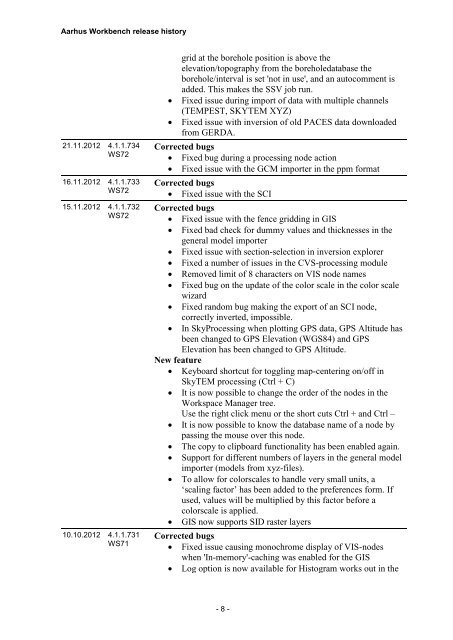
Aarhus <strong>Workbench</strong> release history<br />
21.11.2012 4.1.1.734<br />
WS72<br />
16.11.2012 4.1.1.733<br />
WS72<br />
15.11.2012 4.1.1.732<br />
WS72<br />
10.10.2012 4.1.1.731<br />
WS71<br />
<br />
<br />
grid at the borehole position is above the<br />
elevation/topography from the boreholedatabase the<br />
borehole/interval is set 'not in use', and an autocomment is<br />
added. This makes the SSV job run.<br />
Fixed issue during import of data with multiple channels<br />
(TEMPEST, SKYTEM XYZ)<br />
Fixed issue with inversion of old PACES data downloaded<br />
from GERDA.<br />
Corrected bugs<br />
Fixed bug during a processing node action<br />
Fixed issue with the GCM importer in the ppm format<br />
Corrected bugs<br />
Fixed issue with the SCI<br />
Corrected bugs<br />
Fixed issue with the fence gridding in GIS<br />
Fixed bad check for dummy values and thicknesses in the<br />
general model importer<br />
Fixed issue with section-selection in inversion explorer<br />
Fixed a number of issues in the CVS-processing module<br />
Removed limit of 8 characters on VIS node names<br />
Fixed bug on the update of the color scale in the color scale<br />
wizard<br />
Fixed random bug making the export of an SCI node,<br />
correctly inverted, impossible.<br />
In SkyProcessing when plotting GPS data, GPS Altitude has<br />
been changed to GPS Elevation (WGS84) and GPS<br />
Elevation has been changed to GPS Altitude.<br />
New feature<br />
Keyboard shortcut for toggling map-centering on/off in<br />
SkyTEM processing (Ctrl + C)<br />
It is now possible to change the order of the nodes in the<br />
Workspace Manager tree.<br />
Use the right click menu or the short cuts Ctrl + and Ctrl –<br />
It is now possible to know the database name of a node by<br />
passing the mouse over this node.<br />
The copy to clipboard functionality has been enabled again.<br />
Support for different numbers of layers in the general model<br />
importer (models from xyz-files).<br />
To allow for colorscales to handle very small units, a<br />
‘scaling factor’ has been added to the preferences form. If<br />
used, values will be multiplied by this factor before a<br />
colorscale is applied.<br />
GIS now supports SID raster layers<br />
Corrected bugs<br />
Fixed issue causing monochrome display of VIS-nodes<br />
when 'In-memory'-caching was enabled for the GIS<br />
Log option is now available for Histogram works out in the<br />
- 8 -


