Workbench Release History
Workbench Release History
Workbench Release History
You also want an ePaper? Increase the reach of your titles
YUMPU automatically turns print PDFs into web optimized ePapers that Google loves.
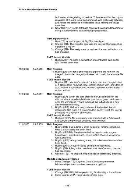
Aarhus <strong>Workbench</strong> release history<br />
is done by a triangulating procedure. This ensures that the original<br />
resolution of the grid is not compromised, and that areas between<br />
grid nodes are assigned a reasonable value making the image<br />
smoother.<br />
2. New(TB/EA): A Gerda database can now be assigned topography<br />
using a Surfer Grid file containing topography data.<br />
TEM Import Module<br />
1. New (TB): Added support of SkyTEM data type.<br />
2. Change (TB): The importer now uses the internal Workspace Log<br />
instead of a log file.<br />
3. Change (TB): The assignment procedure of a map to the importer<br />
has changed.<br />
CVES Import Module<br />
1. Bugfix (JRP): An error in calculation of coordinates from surfer<br />
grid file has been fixed.<br />
18.9.2003 1.2.7.258 Main Program<br />
18. BugFix (JRP): When a grid image is exported, the name of the<br />
image in the tab is changed so it does not contain the absolute file<br />
path.<br />
CVES Import Module<br />
1. Bugfix (JRP): Idents of models to be imported are changed. Ident<br />
of a 1D model is .mep.section and ident of<br />
a 2D models is .mep.. Iteration number is not<br />
written in ident.<br />
17.9.2003 1.2.7.257 Main Program<br />
1. BugFix (EA): When the user presses the Cancel button in the<br />
window where he select database type the program continues to<br />
open the workspace. This is fixed and the radio buttons is now<br />
also initialized correctly.<br />
2. BugFix (JRP): Before a map is shown, it is checked that all<br />
referenced files exist. If a referenced file doesn’t exist, the user is<br />
prompted for a removal of the layer.<br />
CVES Import Module<br />
1. Bugfixes (JRP): No topography was imported with a 1d dataset,<br />
and current and potential electrode was switched.<br />
11.9.2003 1.2.7.255 Main Program<br />
1. BugFix (TB): Bug in Colour scale Engine for making logarithmic<br />
Grey Colour scales has been fixed.<br />
2. BugFix (JRP/TB): Fixed several minor bugs in main program<br />
functionality, including maps, colour scales, themes. Also minor<br />
layout changes.<br />
3. BugFix (JRP): A bug causing a map not to be saved on close has<br />
been fixed.<br />
4. BugFix (JRP): A bug in scaled printing has been fixed.<br />
5. BugFix (TB): A bug in the coordination of ViewData and the map<br />
has been fixed.<br />
6. Update (TB): The program help has been substantially extended.<br />
Module Geophysical Themes<br />
1. Minor Change (TB): Depth to Good Conductor parameter<br />
Minimum layer thickness has been made optional.<br />
CVES Import Module<br />
1. Change (TB/JRP): Added positioning functionality – first release.<br />
2. Minor BugFix (JRP): Fixed various minor bugs.<br />
- 68 -


