Workbench Release History
Workbench Release History
Workbench Release History
You also want an ePaper? Increase the reach of your titles
YUMPU automatically turns print PDFs into web optimized ePapers that Google loves.
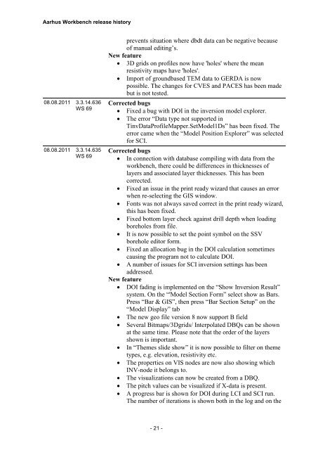
Aarhus <strong>Workbench</strong> release history<br />
08.08.2011 3.3.14.636<br />
WS 69<br />
08.08.2011 3.3.14.635<br />
WS 69<br />
prevents situation where dbdt data can be negative because<br />
of manual editing’s.<br />
New feature<br />
3D grids on profiles now have 'holes' where the mean<br />
resistivity maps have 'holes'.<br />
Import of groundbased TEM data to GERDA is now<br />
possible. The changes for CVES and PACES has been made<br />
but is not tested.<br />
Corrected bugs<br />
Fixed a bug with DOI in the inversion model explorer.<br />
The error “Data type not supported in<br />
TinvDataProfileMapper.SetModel1Ds” has been fixed. The<br />
error came when the “Model Position Explorer” was selected<br />
for SCI.<br />
Corrected bugs<br />
In connection with database compiling with data from the<br />
workbench, there could be differences in thicknesses of<br />
layers and associated layer thicknesses. This has been<br />
corrected.<br />
Fixed an issue in the print ready wizard that causes an error<br />
when re-selecting the GIS window.<br />
Fonts was not always saved correct in the print ready wizard,<br />
this has been fixed.<br />
Fixed bottom layer check against drill depth when loading<br />
boreholes from file.<br />
It is now possible to set the point symbol on the SSV<br />
borehole editor form.<br />
Fixed an allocation bug in the DOI calculation sometimes<br />
causing the program not to calculate DOI.<br />
A number of issues for SCI inversion settings has been<br />
addressed.<br />
New feature<br />
DOI fading is implemented on the “Show Inversion Result”<br />
system. On the “'Model Section Form” select show as Bars.<br />
Press “Bar & GIS”, then press “Bar Section Setup” on the<br />
“Model Display” tab<br />
The new geo file version 8 now support B field<br />
Several Bitmaps/3Dgrids/ Interpolated DBQs can be shown<br />
at the same time. Please note that the order of the layers<br />
shown is important.<br />
In “Themes slide show” it is now possible to filter on theme<br />
types, e.g. elevation, resistivity etc.<br />
The properties on VIS nodes are now also showing which<br />
INV-node it belongs to.<br />
The visualizations can now be created from a DBQ.<br />
The pitch values can be visualized if X-data is present.<br />
A progress bar is shown for DOI during LCI and SCI run.<br />
The number of iterations is shown both in the log and on the<br />
- 21 -


