Workbench Release History
Workbench Release History
Workbench Release History
Create successful ePaper yourself
Turn your PDF publications into a flip-book with our unique Google optimized e-Paper software.
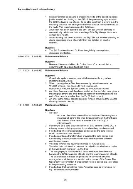
Aarhus <strong>Workbench</strong> release history<br />
05.01.2010 3.2.63.591 Maintenance <strong>Release</strong><br />
27.11.2009 3.2.62.590 Maintenance <strong>Release</strong><br />
18.11.2009 3.2.61.588 Maintenance <strong>Release</strong><br />
1. It is now omitted to activate a processing node of the sounding points<br />
just is needed for plotting on the GIS. If the processing layer exists in<br />
the GIS the layer is just shown. To be able to refresh a layer if e.g. the<br />
sounding distance has changed a Refresh function is implemented on<br />
the node. The refresh recreates the GIS layer.<br />
2. A function has been added to the SkyTEM edit window allowing to<br />
automatically delete raw data soundings if the flight height is above a<br />
certain flight height.<br />
3. A functionality has been added to the SkyTEM edit window allowing to<br />
delete soundings one a channel if they are deleted on another<br />
channel.<br />
Bugfixes<br />
4. The SCI functionality and GUI has thoughtfully been updated,<br />
debugged and tested.<br />
Bugfixes<br />
1. New em1dinv executables. An "out of bounds" access violation<br />
occurring with TEM-data has been fixed<br />
Bugfixes<br />
1. Coordinate system selector now initializes correctly, e.g. when<br />
importing SkyTEM data<br />
2. When opening shape files they are now by default converted to<br />
WGS84 lat/long. This seems to work in all cases.<br />
Netherlands National System added as a coordinate system.<br />
3. em1dinv: An error check has been added so that em1dinv now gives a<br />
meaning full error if the time distance between the front gate and the<br />
end of the ramp is smaller than 1.e-7 s (0.1 micro sec).<br />
4. An error in the model position explorer window prevented the use for<br />
showing inversion results.<br />
Bugfixes<br />
1. em1dinv:<br />
An error check has been added so that em1dinv now gives a<br />
meaning full error if the time distance between the front gate<br />
and the end of the ramp is smaller than 1.e-7 s (0.1<br />
microsecond).<br />
2. If you try to do a auto clay calculation for SSV and the GEUS.DLL is<br />
missing, an error dialog appears, from where help can be opened.<br />
3. Fixed a bug where manual altitude edits outside the data interval<br />
would cause an access violation.<br />
4. Fixed a coordinate transform bug prevented the auto center map<br />
functionality to work properly when data and map were different<br />
coordinate systems<br />
5. Visualize inversion is now implemented for PACES data<br />
Visualize data or inversion can now be called from all relevant nodes<br />
in the workbench manager, i.e. the tree<br />
6. The topography is now by default calculated from the difference<br />
between the GPS measured altitude and the laser measured altitude.<br />
The laser altitude is based on pitch and tilt corrected altitudes<br />
averaged over all lasers and located to the center of the frame. The<br />
topography is overwritten if a topography grid is added at a later stage<br />
in the processing sequence.<br />
7. Fixed a bug, that sometimes made 'Visualize data or inversions' for<br />
e.g. altitude not work properly.<br />
- 35 -


