Workbench Release History
Workbench Release History
Workbench Release History
You also want an ePaper? Increase the reach of your titles
YUMPU automatically turns print PDFs into web optimized ePapers that Google loves.
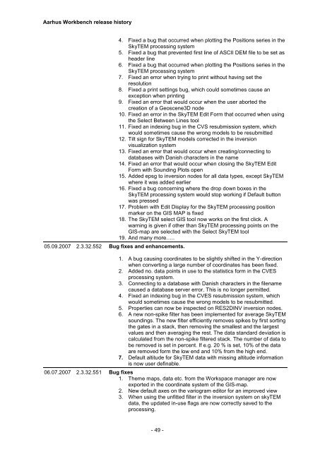
Aarhus <strong>Workbench</strong> release history<br />
05.09.2007 2.3.32.552 Bug fixes and enhancements.<br />
4. Fixed a bug that occurred when plotting the Positions series in the<br />
SkyTEM processing system<br />
5. Fixed a bug that prevented first line of ASCII DEM file to be set as<br />
header line<br />
6. Fixed a bug that occurred when plotting the Positions series in the<br />
SkyTEM processing system<br />
7. Fixed an error when trying to print without having set the<br />
resolution<br />
8. Fixed a print settings bug, which could sometimes cause an<br />
exception when printing<br />
9. Fixed an error that would occur when the user aborted the<br />
creation of a Geoscene3D node<br />
10. Fixed an error in the SkyTEM Edit Form that occurred when using<br />
the Select Between Lines tool<br />
11. Fixed an indexing bug in the CVS resubmission system, which<br />
would sometimes cause the wrong models to be resubmitted<br />
12. Tilt sign for SkyTEM models corrected in the inversion<br />
visualization system<br />
13. Fixed an error that would occur when creating/connecting to<br />
databases with Danish characters in the name<br />
14. Fixed an error that would occur when closing the SkyTEM Edit<br />
Form with Sounding Plots open<br />
15. Added epsg to inversion nodes for all data types, except SkyTEM<br />
where it was added earlier<br />
16. Fixed a bug concerning where the drop down boxes in the<br />
SkyTEM processing system would stop working if Default button<br />
was pressed<br />
17. Problem with Edit Display for the SkyTEM processing position<br />
marker on the GIS MAP is fixed<br />
18. The SkyTEM select GIS tool now works on the first click. A<br />
warning is given if other than SkyTEM processing points on the<br />
GIS-map are selected with the Select SkyTEM tool<br />
19. And many more…..<br />
1. A bug causing coordinates to be slightly shifted in the Y-direction<br />
when converting a large number of coordinates has been fixed.<br />
2. Added no. data points in use to the statistics form in the CVES<br />
processing system.<br />
3. Connecting to a database with Danish characters in the filename<br />
caused a database server error. This is no longer permitted.<br />
4. Fixed an indexing bug in the CVES resubmission system, which<br />
would sometimes cause the wrong models to be resubmitted.<br />
5. Properties can now be inspected on RES2DINV inversion nodes.<br />
6. A new non-spike filter has been implemented for average SkyTEM<br />
soundings. The new filter efficiently removes spikes by first sorting<br />
the gates in a stack, then removing the smallest and the largest<br />
values and then averaging the rest. The data standard deviation is<br />
calculated from the non-spike filtered stack. The number of data to<br />
be removed is set in percent. If e.g. 20 % is set, 10% of the data<br />
are removed form the low end and 10% from the high end.<br />
7. Default altitude for SkyTEM data with missing altitude information<br />
is now user definable.<br />
06.07.2007 2.3.32.551 Bug fixes<br />
1. Theme maps, data etc. from the Workspace manager are now<br />
exported in the coordinate system of the GIS-map.<br />
2. New default axes on the variogram editor for an improved view<br />
3. When using the unfitted filter in the inversion system on skyTEM<br />
data, the updated in-use flags are now correctly saved to the<br />
processing.<br />
- 49 -


