Workbench Release History
Workbench Release History
Workbench Release History
Create successful ePaper yourself
Turn your PDF publications into a flip-book with our unique Google optimized e-Paper software.
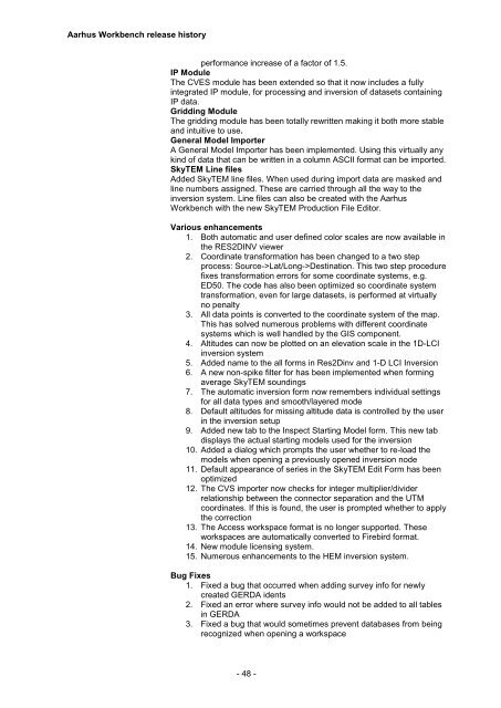
Aarhus <strong>Workbench</strong> release history<br />
performance increase of a factor of 1.5.<br />
IP Module<br />
The CVES module has been extended so that it now includes a fully<br />
integrated IP module, for processing and inversion of datasets containing<br />
IP data.<br />
Gridding Module<br />
The gridding module has been totally rewritten making it both more stable<br />
and intuitive to use.<br />
General Model Importer<br />
A General Model Importer has been implemented. Using this virtually any<br />
kind of data that can be written in a column ASCII format can be imported.<br />
SkyTEM Line files<br />
Added SkyTEM line files. When used during import data are masked and<br />
line numbers assigned. These are carried through all the way to the<br />
inversion system. Line files can also be created with the Aarhus<br />
<strong>Workbench</strong> with the new SkyTEM Production File Editor.<br />
Various enhancements<br />
1. Both automatic and user defined color scales are now available in<br />
the RES2DINV viewer<br />
2. Coordinate transformation has been changed to a two step<br />
process: Source->Lat/Long->Destination. This two step procedure<br />
fixes transformation errors for some coordinate systems, e.g.<br />
ED50. The code has also been optimized so coordinate system<br />
transformation, even for large datasets, is performed at virtually<br />
no penalty<br />
3. All data points is converted to the coordinate system of the map.<br />
This has solved numerous problems with different coordinate<br />
systems which is well handled by the GIS component.<br />
4. Altitudes can now be plotted on an elevation scale in the 1D-LCI<br />
inversion system<br />
5. Added name to the all forms in Res2Dinv and 1-D LCI Inversion<br />
6. A new non-spike filter for has been implemented when forming<br />
average SkyTEM soundings<br />
7. The automatic inversion form now remembers individual settings<br />
for all data types and smooth/layered mode<br />
8. Default altitudes for missing altitude data is controlled by the user<br />
in the inversion setup<br />
9. Added new tab to the Inspect Starting Model form. This new tab<br />
displays the actual starting models used for the inversion<br />
10. Added a dialog which prompts the user whether to re-load the<br />
models when opening a previously opened inversion node<br />
11. Default appearance of series in the SkyTEM Edit Form has been<br />
optimized<br />
12. The CVS importer now checks for integer multiplier/divider<br />
relationship between the connector separation and the UTM<br />
coordinates. If this is found, the user is prompted whether to apply<br />
the correction<br />
13. The Access workspace format is no longer supported. These<br />
workspaces are automatically converted to Firebird format.<br />
14. New module licensing system.<br />
15. Numerous enhancements to the HEM inversion system.<br />
Bug Fixes<br />
1. Fixed a bug that occurred when adding survey info for newly<br />
created GERDA idents<br />
2. Fixed an error where survey info would not be added to all tables<br />
in GERDA<br />
3. Fixed a bug that would sometimes prevent databases from being<br />
recognized when opening a workspace<br />
- 48 -


