Victoria_Park_Re port Final.pdf - City of Charlottetown
Victoria_Park_Re port Final.pdf - City of Charlottetown
Victoria_Park_Re port Final.pdf - City of Charlottetown

Create successful ePaper yourself
Turn your PDF publications into a flip-book with our unique Google optimized e-Paper software.
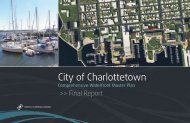
VICTORIA PARK COMPREHENSIVE MASTER PLAN<br />
<strong>Final</strong> <strong>Re</strong><strong>port</strong> • June 2013<br />
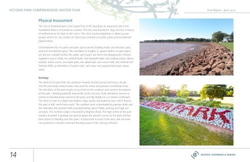
Physical Assessment<br />
The <strong>City</strong> <strong>of</strong> <strong>Charlottetown</strong> is the Capital <strong>City</strong> <strong>of</strong> PEI and plays an im<strong>port</strong>ant role in the<br />
foundation history <strong>of</strong> Canada as a nation. The <strong>City</strong> was founded in 1855, but has a history<br />
<strong>of</strong> settlement as far back as the 1720’s. The city’s current population is about 35,000<br />
people and for its size, boasts an impressive inventory <strong>of</strong> public parks and recreational<br />
op<strong>port</strong>unities.<br />
<strong>Charlottetown</strong> has 111 parks and open space parcels totaling nearly 200 hectares (490<br />
acres) <strong>of</strong> recreational space. This translates to roughly 31 square meters <strong>of</strong> open space<br />
per person. Included within this public open space are thirty-five playgrounds, thirteen<br />
regulation soccer fields, ten s<strong>of</strong>tball fields, two baseball fields, two outdoor pools, eleven<br />
outdoor tennis courts, one skate park, one splash pad, one soccer field, one artificial turf<br />
field (at UPEI), 30 kilometers <strong>of</strong> public trails, and many non-programmed open space<br />
areas.<br />
Geology<br />
The lands <strong>of</strong> <strong>Victoria</strong> <strong>Park</strong> vary between heavily forested zones with trees, shrubs,<br />
and the previously cleared areas now used for active and passive recreational areas.<br />
The elevation <strong>of</strong> the park begins at sea level on the southern and western boundaries<br />
<strong>of</strong> the park, climbing gradually toward the north and east. Peak elevations exceed 10<br />
metres in forested areas central to the park, and dip slightly to 4-6 metres northward.<br />
The effect is that <strong>of</strong> a slight and shallow ridge, barely noticeable by foot, which bisects<br />
the park in half, north from south. The southern area is dominated by passive fields and<br />
the shoreline, the northern half is predominantly s<strong>port</strong>s fields, parking, and high use<br />
activities. The northern edge is bounded by Brighton Road. The high centre <strong>of</strong> the park<br />
remains forested. A gradual low spot occupies the western corner <strong>of</strong> the park and has<br />
been prone to flooding over the years. A pond used to exist in the area, and sea level<br />
rise predictions indicate continued flooding issues in the coming centuries.<br />
14