Recommendations - City of West Torrens - SA.Gov.au
Recommendations - City of West Torrens - SA.Gov.au
Recommendations - City of West Torrens - SA.Gov.au
Create successful ePaper yourself
Turn your PDF publications into a flip-book with our unique Google optimized e-Paper software.
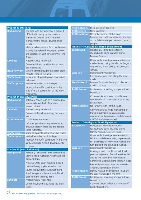
Precinct 13 (Mile End)<br />
Background The area was the subject <strong>of</strong> a detailed<br />
LATM traffic study by the previous<br />
Thebarton Council which resulted<br />
in many traffic control devices being<br />
installed.<br />
Major roadworks completed in the area<br />
include the Bakewell Underpass project<br />
and upgrade <strong>of</strong> East Terrace (Inner Ring<br />
Route).<br />
Land use Predominantly residential.<br />
Commercial and retail land uses along<br />
the main roads.<br />
Road network Victoria Street provides the north-south<br />
collector road in the area.<br />
Traffic issues Incidences <strong>of</strong> speeding and poor driver<br />
behaviour.<br />
Traffic options No further action at this stage.<br />
Monitor the traffic conditions in the<br />
area after the completion <strong>of</strong> the major<br />
roadworks.<br />
Precinct 14 (Brooklyn Park)<br />
Background Relatively “enclosed” area bounded by<br />
main roads, Adelaide Airport and the<br />
Keswick drain.<br />
Land use Predominantly residential.<br />
Commercial land uses along the main<br />
roads.<br />
Road network Local streets in the area.<br />
Left turn prohibition implemented in<br />
previous years in Press Road to reduce<br />
short-cut traffic.<br />
Traffic issues Some complaints about short-cut traffic.<br />
Traffic options No further action at this stage.<br />
Monitor the traffic conditions in the area<br />
as the Adelaide Airport developments<br />
progress.<br />
Precinct 15 (<strong>West</strong> Richmond)<br />
Background Relatively “enclosed” area bounded by<br />
Marion Road, Adelaide Airport and the<br />
Keswick drain.<br />
Previous LATM study resulted in road<br />
closures being implemented on the<br />
southern boundaries with Richmond<br />
Road to separate the residential land<br />
uses from the industry zone.<br />
Land use Predominantly residential.<br />
Commercial land uses along the main<br />
roads.<br />
Road network Local streets in the area.<br />
Traffic issues None apparent.<br />
Traffic options No further action at this stage.<br />
Monitor the traffic conditions in the area<br />
as the Adelaide Airport developments<br />
progress.<br />
Precinct 16 (Cowandilla, Hilton and Richmond)<br />
Background Previous LATM study resulted in<br />
roundabouts being installed along<br />
Brooker Terrace.<br />
Other traffic investigations resulted in a<br />
median island being installed in Kingston<br />
Avenue and line marking in Davenport<br />
Terrace.<br />
Land use Predominantly residential.<br />
Commercial land uses along the main<br />
roads.<br />
Road network Brooker Terrace is the major collector<br />
road in the area.<br />
Traffic issues Incidences <strong>of</strong> speeding and poor driver<br />
behaviour.<br />
Concerns about short-cut traffic near<br />
congested main road intersections, eg<br />
Lucas Street.<br />
Traffic options No further action at this stage.<br />
Carry out an area-wide monitoring <strong>of</strong><br />
traffic movements to assess current<br />
conditions in the area and to determine if<br />
a LATM study is warranted.<br />
Precinct 17 (Netley and North Plympton)<br />
Background Previous LATM study resulted in<br />
roundabouts being installed along<br />
Harvey Avenue, Streeters Road.<br />
Other traffic investigations resulted in<br />
left turn prohibitions being implemented<br />
in side streets <strong>of</strong>f Mooringe Avenue and<br />
turn prohibitions at Kinkaid Avenue.<br />
Land use Predominantly residential.<br />
Industry zone in the Richmond Road<br />
precinct (separated from the residential<br />
area to the south by a road closure.<br />
Commercial land uses along the main roads.<br />
Further development from the Adelaide<br />
Airport Morphett East precinct.<br />
Road network Harvey Avenue and Streeters Road are<br />
the collector roads in the area.<br />
Traffic issues Incidences <strong>of</strong> speeding and poor driver<br />
behaviour.<br />
Concerns about safety at a number <strong>of</strong><br />
local intersections.<br />
76<br />
Part 2 - Traffic Management | Objectives and Setting Criteria


