Sepulveda Dam Basin Master Plan - Los Angeles District - U.S. Army
Sepulveda Dam Basin Master Plan - Los Angeles District - U.S. Army
Sepulveda Dam Basin Master Plan - Los Angeles District - U.S. Army
- No tags were found...
Create successful ePaper yourself
Turn your PDF publications into a flip-book with our unique Google optimized e-Paper software.
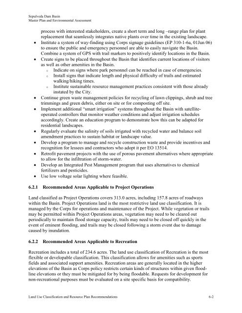
<strong>Sepulveda</strong> <strong>Dam</strong> <strong>Basin</strong><strong>Master</strong> <strong>Plan</strong> and Environmental Assessmentprocess with interested stakeholders, create a short term and long –range plan for plantreplacement that seamlessly integrates native plants over time in the existing landscape.Institute a system of way-finding using Corps signage guidelines (EP 310-1-6a, 01Jun 06)to ensure the public and emergency personnel are able to easily navigate the <strong>Basin</strong>.Combine a system of GPS with trail markers to positively identify locations in the <strong>Basin</strong>.Create signs to be placed throughout the <strong>Basin</strong> that identifies current locations of visitorsas well as other amenities in the <strong>Basin</strong>.o Indicate on signs where park personnel can be reached in case of emergencies.o Install signs that indicate length and physical difficulty of trails and estimatedowalking/hiking times.Institute sustainable resource management practices consistent with those alreadyinstated by the City.Continue green waste management policies for recycling of lawn clippings, shrub and treetrimmings and green debris, either on site or for composting off site.Implement additional “smart irrigation” systems throughout the <strong>Basin</strong> with satelliteoperatedcontrollers that monitor weather conditions and adjust irrigation schedulesaccordingly. Create an education program to demonstrate how this can be adapted forresidential landscapes.Regularly evaluate the salinity of soils irrigated with recycled water and balance soilamendment practices to sustain habitat or landscape value.Develop a program to manage and recycle construction waste and provide incentives andrecognition for lessees and contractors who adopt it per EO 13514.Retrofit pavement projects with the use of porous pavement alternatives where appropriateto allow for the infiltration of storm-water.Develop an Integrated Pest Management program that uses alternatives to chemicalfertilizers and pesticides.Use low voltage solar lighting where feasible.6.2.1 Recommended Areas Applicable to Project OperationsLand classified as Project Operations covers 313.0 acres, including 157.8 acres of roadwayswithin the <strong>Basin</strong>. Project Operations land is the most restrictive land use classification. It ismanaged by the Corps for operations and maintenance of the Project. While vegetation or trailsmay be permitted within Project Operations areas, vegetation may need to be cleared outperiodically to maintain flood storage capacity, trails may need to be closed off quickly in theevent of eminent flooding, and trails may be closed following a storm event due to damagecaused by inundation.6.2.2 Recommended Areas Applicable to RecreationRecreation includes a total of 234.6 acres. The land use classification of Recreation is the mostflexible or developable classification. This classification allows for amenities such as sportsfields and associated support amenities. Recreation areas are generally located in the higherelevations of the <strong>Basin</strong> as Corps policy restricts certain kinds of structures within given floodlineelevations or they must be mitigated for by being floodable. Requests for development fornon-recreational purposes must be evaluated on a site specific basis for compatibility.Land Use Classification and Resource <strong>Plan</strong> Recommendations 6-2


