TOWN OF SHARON ZONING LAW* - Schoharie County
TOWN OF SHARON ZONING LAW* - Schoharie County
TOWN OF SHARON ZONING LAW* - Schoharie County
- No tags were found...

You also want an ePaper? Increase the reach of your titles
YUMPU automatically turns print PDFs into web optimized ePapers that Google loves.
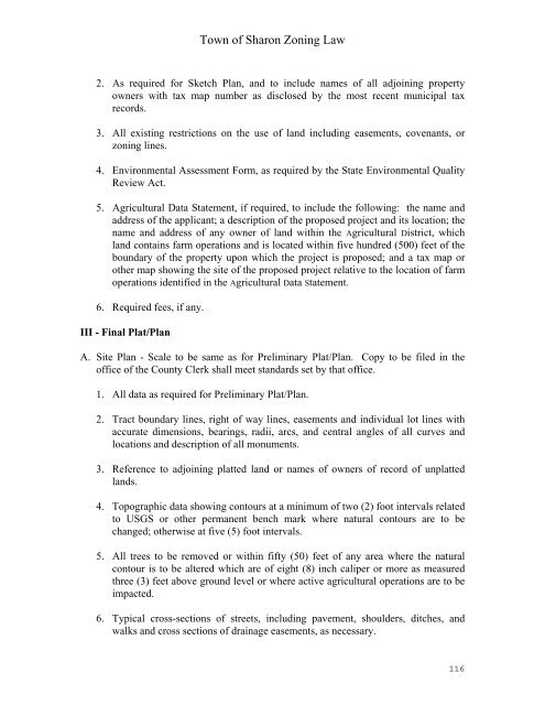
Town of Sharon Zoning Law2. As required for Sketch Plan, and to include names of all adjoining propertyowners with tax map number as disclosed by the most recent municipal taxrecords.3. All existing restrictions on the use of land including easements, covenants, orzoning lines.4. Environmental Assessment Form, as required by the State Environmental QualityReview Act.5. Agricultural Data Statement, if required, to include the following: the name andaddress of the applicant; a description of the proposed project and its location; thename and address of any owner of land within the Agricultural District, whichland contains farm operations and is located within five hundred (500) feet of theboundary of the property upon which the project is proposed; and a tax map orother map showing the site of the proposed project relative to the location of farmoperations identified in the Agricultural Data Statement.6. Required fees, if any.III - Final Plat/PlanA. Site Plan - Scale to be same as for Preliminary Plat/Plan. Copy to be filed in theoffice of the <strong>County</strong> Clerk shall meet standards set by that office.1. All data as required for Preliminary Plat/Plan.2. Tract boundary lines, right of way lines, easements and individual lot lines withaccurate dimensions, bearings, radii, arcs, and central angles of all curves andlocations and description of all monuments.3. Reference to adjoining platted land or names of owners of record of unplattedlands.4. Topographic data showing contours at a minimum of two (2) foot intervals relatedto USGS or other permanent bench mark where natural contours are to bechanged; otherwise at five (5) foot intervals.5. All trees to be removed or within fifty (50) feet of any area where the naturalcontour is to be altered which are of eight (8) inch caliper or more as measuredthree (3) feet above ground level or where active agricultural operations are to beimpacted.6. Typical cross-sections of streets, including pavement, shoulders, ditches, andwalks and cross sections of drainage easements, as necessary.116