(SAR) to Support Agricultural Monitoring 2 - Group on Earth ...
(SAR) to Support Agricultural Monitoring 2 - Group on Earth ...
(SAR) to Support Agricultural Monitoring 2 - Group on Earth ...

Create successful ePaper yourself
Turn your PDF publications into a flip-book with our unique Google optimized e-Paper software.
Internati<strong>on</strong>al GEO Workshop <strong>on</strong> <str<strong>on</strong>g>SAR</str<strong>on</strong>g> <str<strong>on</strong>g>to</str<strong>on</strong>g> <str<strong>on</strong>g>Support</str<strong>on</strong>g> <str<strong>on</strong>g>Agricultural</str<strong>on</strong>g> M<strong>on</strong>i<str<strong>on</strong>g>to</str<strong>on</strong>g>ring<br />
Anne Smith (AAFC) described the data collecti<strong>on</strong> for their research project “Investigating<br />
RADARSAT-2 as a Tool for M<strong>on</strong>i<str<strong>on</strong>g>to</str<strong>on</strong>g>ring Grassland in Western Canada”. She proposed that<br />
RADARSAT-2 has potential <str<strong>on</strong>g>to</str<strong>on</strong>g> c<strong>on</strong>tribute <str<strong>on</strong>g>to</str<strong>on</strong>g> two of the project’s three objectives, namely:<br />
• the spatial extent and fragmentati<strong>on</strong> of native grasslands,<br />
• the invasive plant species, leafy spurge, <strong>on</strong> native grasslands.<br />
Carlos Cotlier (Universidad Naci<strong>on</strong>al de Rosario, Argentina) highlighted recent work <strong>on</strong><br />
identifying crops <strong>on</strong> small fields in the urban fringe. He c<strong>on</strong>cluded that Radarsat-2 Ultra<br />
Fine Beam images are optimum for land use detecti<strong>on</strong> of horticulture intensive farming, and<br />
they could detect small plots less than an acre in size. To discriminate the crops, he<br />
recommends using two c<strong>on</strong>secutive Ultra Fine Beam images (24 days apart) with different<br />
polarizati<strong>on</strong>s, (e.g. <strong>on</strong>e HH and the other HV), and creating a color composite image HH-HV<br />
or HH/HV.<br />
Christiane Schmullius (Friedrich-Schiller-University Jena, Germany) presented “Preparing<br />
for Sentinel-1: Operati<strong>on</strong>al Capabilities of C-Band Multi-Resoluti<strong>on</strong> and Multi-Polarized<br />
<str<strong>on</strong>g>SAR</str<strong>on</strong>g> Data for Crop Mapping”. She c<strong>on</strong>cluded that:<br />
• Multitemporal, multipolarized C-Band <str<strong>on</strong>g>SAR</str<strong>on</strong>g>-Data proves very high potential for crop<br />
mapping.<br />
• Optimal polarizati<strong>on</strong>s are HV and VV; HH has less informati<strong>on</strong> c<strong>on</strong>tent.<br />
• Temporal resoluti<strong>on</strong> is more important for crop mapping than geometric resoluti<strong>on</strong>.<br />
She also dem<strong>on</strong>strated that the overall accuracy could be increased <str<strong>on</strong>g>to</str<strong>on</strong>g> 85% by combining the<br />
<str<strong>on</strong>g>SAR</str<strong>on</strong>g> results with Corine Land Cover 2000 using object segments and a majority functi<strong>on</strong> for<br />
allocati<strong>on</strong> of pixels <str<strong>on</strong>g>to</str<strong>on</strong>g> segments.<br />
2.6 Capacity Building Activities and Opportunities<br />
This sessi<strong>on</strong> described specific programs and projects related <str<strong>on</strong>g>to</str<strong>on</strong>g> capacity building and<br />
opportunities for developing countries <str<strong>on</strong>g>to</str<strong>on</strong>g> take advantage of <str<strong>on</strong>g>SAR</str<strong>on</strong>g> technology. Stéphane<br />
Chalifoux (CSA) presented the SOAR (Science and Operati<strong>on</strong>al Applicati<strong>on</strong>s Research)<br />
Program. He challenged the <str<strong>on</strong>g>Agricultural</str<strong>on</strong>g> Community of Practice <str<strong>on</strong>g>to</str<strong>on</strong>g> discuss with CSA such<br />
opportunities as opening a new initiative, implementing a special project (perhaps through<br />
JECAM) or making a general request <str<strong>on</strong>g>to</str<strong>on</strong>g> all space agencies with <str<strong>on</strong>g>SAR</str<strong>on</strong>g> sensors.<br />
R<strong>on</strong> Caves (MDA) described Agri<str<strong>on</strong>g>SAR</str<strong>on</strong>g> 2009, a campaign with the following objectives:<br />
• Simulate Sentinel-1 data products especially in terms of repeat observati<strong>on</strong>, resoluti<strong>on</strong><br />
and polarizati<strong>on</strong>.<br />
• Evaluate the performance of Sentinel-1 for agricultural and land cover products based<br />
<strong>on</strong> dense time series of radar data.<br />
• Evaluate the added value of full and compact polarimetry for the same informati<strong>on</strong><br />
products.<br />
• Develop methodology for the generati<strong>on</strong> and validati<strong>on</strong> of agricultural and land cover<br />
map informati<strong>on</strong> products based <strong>on</strong> C-band radar data.<br />
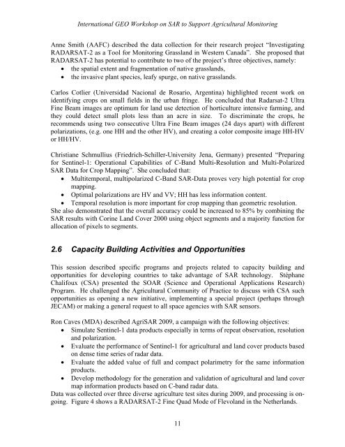
Data was collected over three diverse agriculture test sites during 2009, and processing is <strong>on</strong>going.<br />
Figure 4 shows a RADARSAT-2 Fine Quad Mode of Flevoland in the Netherlands.<br />
11