City of Lawrenceville Comprehensive Plan Steering Committee
City of Lawrenceville Comprehensive Plan Steering Committee
City of Lawrenceville Comprehensive Plan Steering Committee

You also want an ePaper? Increase the reach of your titles
YUMPU automatically turns print PDFs into web optimized ePapers that Google loves.
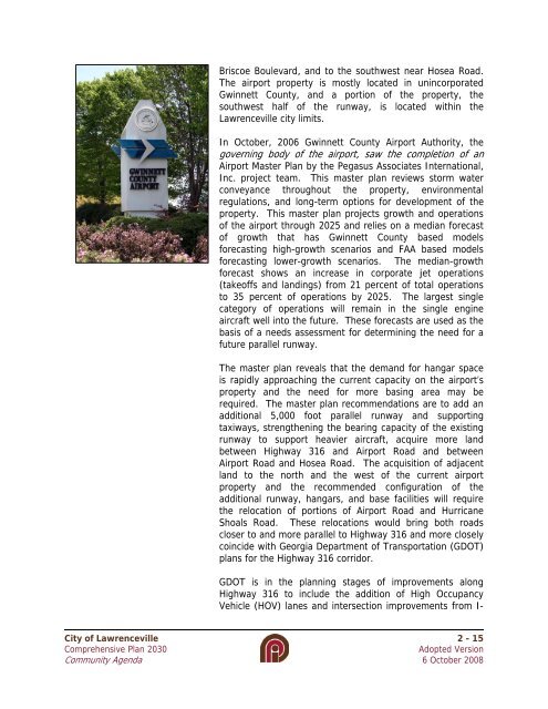
Briscoe Boulevard, and to the southwest near Hosea Road.The airport property is mostly located in unincorporatedGwinnett County, and a portion <strong>of</strong> the property, thesouthwest half <strong>of</strong> the runway, is located within the<strong>Lawrenceville</strong> city limits.In October, 2006 Gwinnett County Airport Authority, thegoverning body <strong>of</strong> the airport, saw the completion <strong>of</strong> anAirport Master <strong>Plan</strong> by the Pegasus Associates International,Inc. project team. This master plan reviews storm waterconveyance throughout the property, environmentalregulations, and long-term options for development <strong>of</strong> theproperty. This master plan projects growth and operations<strong>of</strong> the airport through 2025 and relies on a median forecast<strong>of</strong> growth that has Gwinnett County based modelsforecasting high-growth scenarios and FAA based modelsforecasting lower-growth scenarios. The median-growthforecast shows an increase in corporate jet operations(take<strong>of</strong>fs and landings) from 21 percent <strong>of</strong> total operationsto 35 percent <strong>of</strong> operations by 2025. The largest singlecategory <strong>of</strong> operations will remain in the single engineaircraft well into the future. These forecasts are used as thebasis <strong>of</strong> a needs assessment for determining the need for afuture parallel runway.The master plan reveals that the demand for hangar spaceis rapidly approaching the current capacity on the airport’sproperty and the need for more basing area may berequired. The master plan recommendations are to add anadditional 5,000 foot parallel runway and supportingtaxiways, strengthening the bearing capacity <strong>of</strong> the existingrunway to support heavier aircraft, acquire more landbetween Highway 316 and Airport Road and betweenAirport Road and Hosea Road. The acquisition <strong>of</strong> adjacentland to the north and the west <strong>of</strong> the current airportproperty and the recommended configuration <strong>of</strong> theadditional runway, hangars, and base facilities will requirethe relocation <strong>of</strong> portions <strong>of</strong> Airport Road and HurricaneShoals Road. These relocations would bring both roadscloser to and more parallel to Highway 316 and more closelycoincide with Georgia Department <strong>of</strong> Transportation (GDOT)plans for the Highway 316 corridor.GDOT is in the planning stages <strong>of</strong> improvements alongHighway 316 to include the addition <strong>of</strong> High OccupancyVehicle (HOV) lanes and intersection improvements from I-<strong>City</strong> <strong>of</strong> <strong>Lawrenceville</strong> 2 - 15<strong>Comprehensive</strong> <strong>Plan</strong> 2030Adopted VersionCommunity Agenda 6 October 2008