City of Lawrenceville Comprehensive Plan Steering Committee
City of Lawrenceville Comprehensive Plan Steering Committee
City of Lawrenceville Comprehensive Plan Steering Committee

Create successful ePaper yourself
Turn your PDF publications into a flip-book with our unique Google optimized e-Paper software.
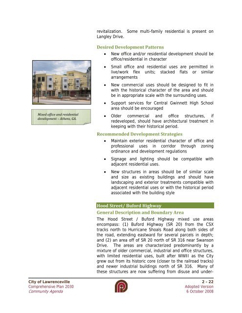
evitalization. Some multi-family residential is present onLangley Drive.Mixed <strong>of</strong>fice and residentialdevelopment – Athens, GA.Desired Development Patterns• New <strong>of</strong>fice and/or residential development should be<strong>of</strong>fice/residential in character• Small <strong>of</strong>fice and residential uses are permitted inlive/work flex units; stacked flats or similararrangements• New commercial uses should be designed to fit inwith the historical character <strong>of</strong> the area and shouldbe in appropriate scale with the surrounding uses.• Support services for Central Gwinnett High Schoolarea should be encouraged• Older commercial and <strong>of</strong>fice structures, ifredeveloped, should have architectural treatment inkeeping with their historical period.Recommended Development Strategies• Maintain exterior residential character <strong>of</strong> <strong>of</strong>fice andpr<strong>of</strong>essional uses in corridor through zoningordinance and development regulations• Signage and lighting should be compatible withadjacent residential uses.• New structures in areas should be <strong>of</strong> similar scaleand size as existing buildings and should havelandscaping and exterior treatments compatible withadjacent residential uses or with the historical periodassociated with the building styleHood Street/ Buford HighwayGeneral Description and Boundary AreaThe Hood Street / Buford Highway mixed use areasencompass: (1) Buford Highway (SR 20) from the CSXtracks north to Hurricane Shoals Road along both sides <strong>of</strong>the road, extending eastward for several parcels in depth;and (2) an area <strong>of</strong>f <strong>of</strong> SR 20 north <strong>of</strong> SR 316 near SwansonDrive. The areas are characterized predominantly by amixture <strong>of</strong> older commercial, industrial and <strong>of</strong>fice structures,with limited residential uses, built after WWII as the <strong>City</strong>grew out from its historic core (closer to the railroad tracks)and newer industrial buildings north <strong>of</strong> SR 316. Many <strong>of</strong>these structures are now suffering from disuse and under-<strong>City</strong> <strong>of</strong> <strong>Lawrenceville</strong> 2 - 22<strong>Comprehensive</strong> <strong>Plan</strong> 2030Adopted VersionCommunity Agenda 6 October 2008