

Annual Meeting - SCEC.org
Annual Meeting - SCEC.org
Annual Meeting - SCEC.org
- TAGS
- annual
- meeting
- www.scec.org

You also want an ePaper? Increase the reach of your titles
YUMPU automatically turns print PDFs into web optimized ePapers that Google loves.
Report | <strong>SCEC</strong> CEO Director<br />
<strong>SCEC</strong> has also partnered with JEP, USC Mission Science, USC Sea Grants and the Jet Propulsion<br />
Laboratory (JPL) to create hands-on workshops for teachers at schools in the neighborhoods<br />
surrounding USC.<br />
Development of Educational Products<br />
Earthquake Country - Los Angeles Video Kit. The video was produced by<br />
Dr. Pat Abbott of SDSU. The video tells the story of how the mountains and<br />
valleys of the Los Angeles area formed, including the important role of<br />
earthquakes. The video features aerial photography, stunning computer<br />
animations, and interviews with well-known experts. The video features 3D<br />
fault animations produced by <strong>SCEC</strong>’s “LA3D” visualization system. In<br />
addition to conducting several focus groups with teachers and preparedness<br />
experts where the video was evaluated, <strong>SCEC</strong> developed an educator kit for<br />
school and community groups. The kit is currently being used in several<br />
schools in Los Angeles County, in an earth science education course at Cal<br />
Poly Pomona, and is part of educational programming at two museums.<br />
Plate Tectonics Kit. Debuting in fall 2008, this educational product makes plate tectonics activities<br />
more accessible for science educators. <strong>SCEC</strong> developed a user-friendly version of the This Dynamic<br />
Earth map used by many in a jigsaw-puzzle activity to learn about plate tectonics, hot spots, and<br />
other topics. Feedback from educators indicated that the activity would be used more often if they<br />
had maps that had the plate boundaries on the back so that the puzzle could be cut more easily. In<br />
addition to designing the new map <strong>SCEC</strong> has also developed an educator kit.<br />
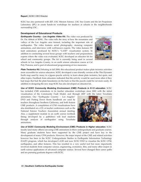
Use of <strong>SCEC</strong> Community Modeling Environment (CME) Products in K-12 education. <strong>SCEC</strong><br />
has included CME animations in its teacher education workshops since 2002 with the initial<br />
visualization of the Community Fault Model, and through 2007 with the latest Terashake<br />
animations. Our “Earthquake Country – Los Angeles”<br />
DVD and Putting Down Roots handbook are used by<br />
teachers throughout Southern California, and both feature<br />
CME products. A compilation of CFM visualizations have<br />
also distributed on a CD, at teacher conferences such as the<br />
National Science Teachers Association annual meeting.<br />
Also, a supplement module to an earth science textbook<br />
(being developed by a publisher) will lead students<br />
through analysis of earthquakes using Terashake<br />
animations.<br />
Use of <strong>SCEC</strong> Community Modeling Environment (CME) Products in Higher education. <strong>SCEC</strong><br />
faculty (and many others) are using CME animations in there undergraduate and graduate courses.<br />
Many graduate students have been supported by the CME project and have key in the<br />
development of many CFM products. However, the major impact of the CME and related activities<br />
however has been in the <strong>SCEC</strong> Undergraduate Studies in Earthquake Information Technology<br />
(USEIT) program, which has developed LA3D and now <strong>SCEC</strong>-VDO to visualize the <strong>SCEC</strong> CFM,<br />
earthquakes, and other features. This has resulted in a very useful tool but more importantly<br />
involved students from computer science, engineering, economics, film, and many other majors in<br />
earth science applications of advanced computer science. Several have changed their career paths<br />
and are pursuing graduate degrees with <strong>SCEC</strong>.<br />
40 | Southern California Earthquake Center
