Creating a Map with ArcMap - Tufts University
Creating a Map with ArcMap - Tufts University
Creating a Map with ArcMap - Tufts University
You also want an ePaper? Increase the reach of your titles
YUMPU automatically turns print PDFs into web optimized ePapers that Google loves.
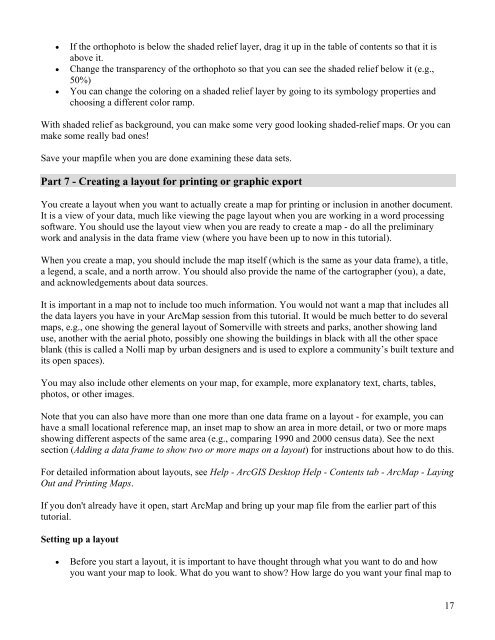
• If the orthophoto is below the shaded relief layer, drag it up in the table of contents so that it is<br />
above it.<br />
• Change the transparency of the orthophoto so that you can see the shaded relief below it (e.g.,<br />
50%)<br />
• You can change the coloring on a shaded relief layer by going to its symbology properties and<br />
choosing a different color ramp.<br />
With shaded relief as background, you can make some very good looking shaded-relief maps. Or you can<br />
make some really bad ones!<br />
Save your mapfile when you are done examining these data sets.<br />
Part 7 - <strong>Creating</strong> a layout for printing or graphic export<br />
You create a layout when you want to actually create a map for printing or inclusion in another document.<br />
It is a view of your data, much like viewing the page layout when you are working in a word processing<br />
software. You should use the layout view when you are ready to create a map - do all the preliminary<br />
work and analysis in the data frame view (where you have been up to now in this tutorial).<br />
When you create a map, you should include the map itself (which is the same as your data frame), a title,<br />
a legend, a scale, and a north arrow. You should also provide the name of the cartographer (you), a date,<br />
and acknowledgements about data sources.<br />
It is important in a map not to include too much information. You would not want a map that includes all<br />
the data layers you have in your Arc<strong>Map</strong> session from this tutorial. It would be much better to do several<br />
maps, e.g., one showing the general layout of Somerville <strong>with</strong> streets and parks, another showing land<br />
use, another <strong>with</strong> the aerial photo, possibly one showing the buildings in black <strong>with</strong> all the other space<br />
blank (this is called a Nolli map by urban designers and is used to explore a community’s built texture and<br />
its open spaces).<br />
You may also include other elements on your map, for example, more explanatory text, charts, tables,<br />
photos, or other images.<br />
Note that you can also have more than one more than one data frame on a layout - for example, you can<br />
have a small locational reference map, an inset map to show an area in more detail, or two or more maps<br />
showing different aspects of the same area (e.g., comparing 1990 and 2000 census data). See the next<br />
section (Adding a data frame to show two or more maps on a layout) for instructions about how to do this.<br />
For detailed information about layouts, see Help - ArcGIS Desktop Help - Contents tab - Arc<strong>Map</strong> - Laying<br />
Out and Printing <strong>Map</strong>s.<br />
If you don't already have it open, start Arc<strong>Map</strong> and bring up your map file from the earlier part of this<br />
tutorial.<br />
Setting up a layout<br />
• Before you start a layout, it is important to have thought through what you want to do and how<br />
you want your map to look. What do you want to show? How large do you want your final map to<br />
17


