Williams-Climate-change-refugia-for-terrestrial-biodiversity_0
Williams-Climate-change-refugia-for-terrestrial-biodiversity_0
Williams-Climate-change-refugia-for-terrestrial-biodiversity_0

You also want an ePaper? Increase the reach of your titles
YUMPU automatically turns print PDFs into web optimized ePapers that Google loves.
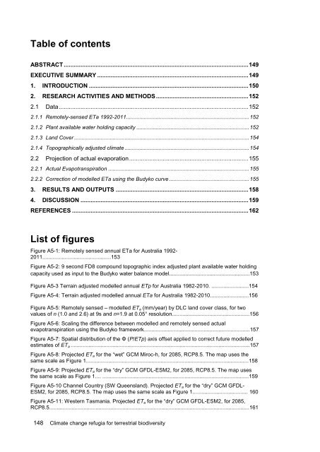
Table of contents<br />
ABSTRACT .............................................................................................................. 149<br />
EXECUTIVE SUMMARY .......................................................................................... 149<br />
1. INTRODUCTION ............................................................................................... 150<br />
2. RESEARCH ACTIVITIES AND METHODS ....................................................... 152<br />
2.1 Data ................................................................................................................. 152<br />
2.1.1 Remotely-sensed ETa 1992-2011................................................................................... 152<br />
2.1.2 Plant available water holding capacity ............................................................................ 152<br />
2.1.3 Land Cover ...................................................................................................................... 154<br />
2.1.4 Topographically adjusted climate .................................................................................... 154<br />
2.2 Projection of actual evaporation ....................................................................... 155<br />
2.2.1 Actual Evapotranspiration ............................................................................................... 155<br />
2.2.2 Correction of modelled ETa using the Budyko curve ...................................................... 155<br />
3. RESULTS AND OUTPUTS ............................................................................... 158<br />
4. DISCUSSION .................................................................................................... 159<br />
REFERENCES ......................................................................................................... 162<br />
List of figures<br />
Figure A5-1: Remotely sensed annual ETa <strong>for</strong> Australia 1992-<br />
2011..............................................153<br />
Figure A5-2: 9 second FD8 compound topographic index adjusted plant available water holding<br />
capacity used as input to the Budyko water balance model......................................................153<br />
Figure A5-3 Terrain adjusted modelled annual ETp <strong>for</strong> Australia 1982-2010. .........................154<br />
Figure A5-4: Terrain adjusted modelled annual ETa <strong>for</strong> Australia 1982-2010..........................156<br />
Figure A5-5: Remotely sensed – modelled ETa (mm/year) by DLC land cover class, <strong>for</strong> two<br />
values of n (1.0 and 2.6) at 9s and n=1.9 at 0.05° resolution....................................................156<br />
Figure A5-6: Scaling the difference between modelled and remotely sensed actual<br />
evapotranspiration using the Budyko framework.......................................................................157<br />
Figure A5-7: Spatial distribution of the Φ (P/ETp) axis offset applied to correct future modelled<br />
estimates of ETa ........................................................................................................................157<br />
Figure A5-8: Projected ETa <strong>for</strong> the “wet” GCM Miroc-h, <strong>for</strong> 2085, RCP8.5. The map uses the<br />
same scale as Figure 1.............................................................................................................158<br />
Figure A5-9: Projected ETa <strong>for</strong> the “dry” GCM GFDL-ESM2, <strong>for</strong> 2085, RCP8.5. The map uses<br />
the same scale as Figure 1.... ..................................................................................................159<br />
Figure A5-10 Channel Country (SW Queensland). Projected ETa <strong>for</strong> the “dry” GCM GFDL-<br />
ESM2, <strong>for</strong> 2085, RCP8.5. The map uses the same scale as Figure 1..................................... 160<br />
Figure A5-11: Western Tasmania. Projected ETa <strong>for</strong> the “dry” GCM GFDL-ESM2, <strong>for</strong> 2085,<br />
RCP8.5......................................................................................................................................161<br />
148 <strong>Climate</strong> <strong>change</strong> <strong>refugia</strong> <strong>for</strong> <strong>terrestrial</strong> <strong>biodiversity</strong>