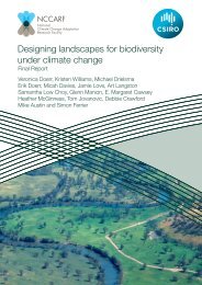
Williams-Climate-change-refugia-for-terrestrial-biodiversity_0
Williams-Climate-change-refugia-for-terrestrial-biodiversity_0
Williams-Climate-change-refugia-for-terrestrial-biodiversity_0

You also want an ePaper? Increase the reach of your titles
YUMPU automatically turns print PDFs into web optimized ePapers that Google loves.
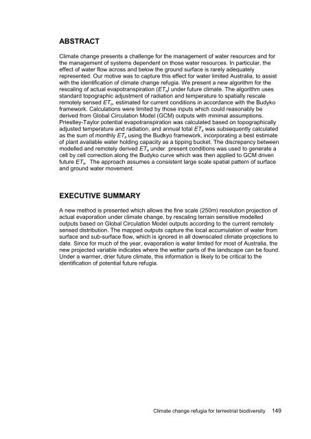
ABSTRACT<br />
<strong>Climate</strong> <strong>change</strong> presents a challenge <strong>for</strong> the management of water resources and <strong>for</strong><br />
the management of systems dependent on those water resources. In particular, the<br />
effect of water flow across and below the ground surface is rarely adequately<br />
represented. Our motive was to capture this effect <strong>for</strong> water limited Australia, to assist<br />
with the identification of climate <strong>change</strong> <strong>refugia</strong>. We present a new algorithm <strong>for</strong> the<br />
rescaling of actual evapotranspiration (ETa) under future climate. The algorithm uses<br />
standard topographic adjustment of radiation and temperature to spatially rescale<br />
remotely sensed ETa, estimated <strong>for</strong> current conditions in accordance with the Budyko<br />
framework. Calculations were limited by those inputs which could reasonably be<br />
derived from Global Circulation Model (GCM) outputs with minimal assumptions.<br />
Priestley-Taylor potential evapotranspiration was calculated based on topographically<br />
adjusted temperature and radiation, and annual total ETa was subsequently calculated<br />
as the sum of monthly ETa using the Budkyo framework, incorporating a best estimate<br />
of plant available water holding capacity as a tipping bucket. The discrepancy between<br />
modelled and remotely derived ETa under present conditions was used to generate a<br />
cell by cell correction along the Budyko curve which was then applied to GCM driven<br />
future ETa. The approach assumes a consistent large scale spatial pattern of surface<br />
and ground water movement.<br />
EXECUTIVE SUMMARY<br />
A new method is presented which allows the fine scale (250m) resolution projection of<br />
actual evaporation under climate <strong>change</strong>, by rescaling terrain sensitive modelled<br />
outputs based on Global Circulation Model outputs according to the current remotely<br />
sensed distribution. The mapped outputs capture the local accumulation of water from<br />
surface and sub-surface flow, which is ignored in all downscaled climate projections to<br />
date. Since <strong>for</strong> much of the year, evaporation is water limited <strong>for</strong> most of Australia, the<br />
new projected variable indicates where the wetter parts of the landscape can be found.<br />
Under a warmer, drier future climate, this in<strong>for</strong>mation is likely to be critical to the<br />
identification of potential future <strong>refugia</strong>.<br />
<strong>Climate</strong> <strong>change</strong> <strong>refugia</strong> <strong>for</strong> <strong>terrestrial</strong> <strong>biodiversity</strong> 149