Land Management Plan - Part 2 Los Padres National Forest Strategy
Land Management Plan - Part 2 Los Padres National Forest Strategy
Land Management Plan - Part 2 Los Padres National Forest Strategy
Create successful ePaper yourself
Turn your PDF publications into a flip-book with our unique Google optimized e-Paper software.
September 2005 <strong>Land</strong> <strong>Management</strong> <strong>Plan</strong> <strong>Part</strong> 2<br />
<strong>Los</strong> <strong>Padres</strong> <strong>National</strong> <strong>Forest</strong> <strong>Strategy</strong><br />
Hungry Valley - Mutau<br />
Them e: A variety of recreation opportunities<br />
are provided in natural appearing landscapes of<br />
grassland, chaparral, meadows,<br />
and pine forests. Pine forests and tranquil meadows invite<br />
visitors to remote wilderness<br />
hiking.<br />
Settin g: The Hungry Valley/Mutau Place<br />
rises from the<br />
Piru drainage at about 2,500 feet to Frazier<br />
Mountain at<br />
8,013 feet. The lower elevation edge is delineated by<br />
Pyramid Lake and the higher elevation boundary is<br />
marked by a series of high peaks and ridges. This area<br />
is the headwaters for Piru Creek. The area offers views<br />
of a scenic montane landscape to both the local<br />
mountain communities and to Interstate 5 travelers.<br />
Some of the oldest igneous and metamorphic rocks in<br />
the Transverse Ranges underlie the Piru Creek<br />
Watershed. This area is most accessible from Interstate<br />
5 and it serves as the primary access to the northern<br />
portion of the Sespe Wilderness and the eastern<br />
boundary of this Place.<br />
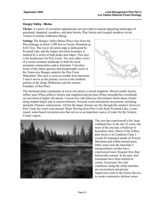
The dominant plant community at lower elevations is mixed chaparral. Mixed conifer<br />
forests,<br />
Jeffrey pine (Pinus jeffreyi) forests and singleleaf pinyon pine (Pinus monophylla) woodlands<br />
are prevalent at higher elevations. Canyon live oak (Quercus chrysolepis) forms dense forests<br />
along shaded slopes and in canyon bottoms. Noxious weed infestations are present, including<br />
tamarisk (Tamarix ramossisma). All but the larger streams are dry through the summer; however,<br />
Piru Creek has water year-around. Water flowing from Piru Creek feeds Pyramid Lake, a yearround,<br />
water-based recreation area that serves as an important source of water for the Ventura<br />
County region.<br />
The area has experienced a few large<br />
wildland fires in the last 25 years, but<br />
most of the area has a build-up of<br />
hazardous fuels. Much of the Jeffrey<br />
pine forest is in Condition Class 3<br />
except for managed stands on Frazier<br />
Mountain and within burned areas.<br />
Other areas near the Interstate 5<br />
transportation corridor have<br />
experienced more frequent fires than<br />
historically normal. In the past, fuel<br />
treatments have been limited in<br />
extent. At present, fire-safe<br />
conditions along the urban interface<br />
are inconsistent and private<br />
landowners look to the <strong>Forest</strong> Service<br />
to create community defense zones.<br />
Page 61


