ZONING ORDINANCE - Stark County, North Dakota
ZONING ORDINANCE - Stark County, North Dakota
ZONING ORDINANCE - Stark County, North Dakota
You also want an ePaper? Increase the reach of your titles
YUMPU automatically turns print PDFs into web optimized ePapers that Google loves.
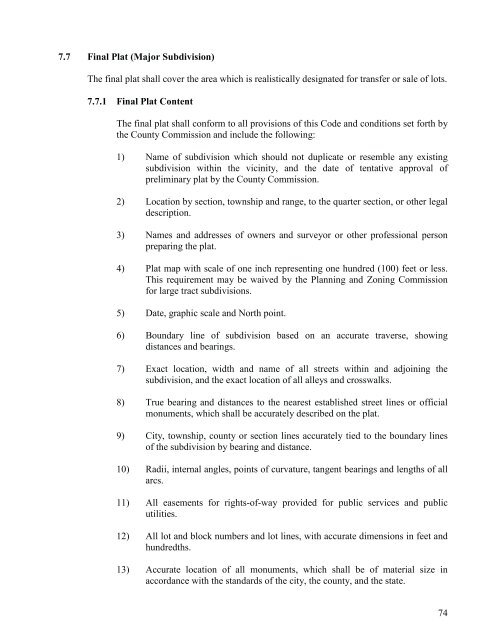
7.7 Final Plat (Major Subdivision)<br />
The final plat shall cover the area which is realistically designated for transfer or sale of lots.<br />
7.7.1 Final Plat Content<br />
The final plat shall conform to all provisions of this Code and conditions set forth by<br />
the <strong>County</strong> Commission and include the following:<br />
1) Name of subdivision which should not duplicate or resemble any existing<br />
subdivision within the vicinity, and the date of tentative approval of<br />
preliminary plat by the <strong>County</strong> Commission.<br />
2) Location by section, township and range, to the quarter section, or other legal<br />
description.<br />
3) Names and addresses of owners and surveyor or other professional person<br />
preparing the plat.<br />
4) Plat map with scale of one inch representing one hundred (100) feet or less.<br />
This requirement may be waived by the Planning and Zoning Commission<br />
for large tract subdivisions.<br />
5) Date, graphic scale and <strong>North</strong> point.<br />
6) Boundary line of subdivision based on an accurate traverse, showing<br />
distances and bearings.<br />
7) Exact location, width and name of all streets within and adjoining the<br />
subdivision, and the exact location of all alleys and crosswalks.<br />
8) True bearing and distances to the nearest established street lines or official<br />
monuments, which shall be accurately described on the plat.<br />
9) City, township, county or section lines accurately tied to the boundary lines<br />
of the subdivision by bearing and distance.<br />
10) Radii, internal angles, points of curvature, tangent bearings and lengths of all<br />
arcs.<br />
11) All easements for rights-of-way provided for public services and public<br />
utilities.<br />
12) All lot and block numbers and lot lines, with accurate dimensions in feet and<br />
hundredths.<br />
13) Accurate location of all monuments, which shall be of material size in<br />
accordance with the standards of the city, the county, and the state.<br />
74


