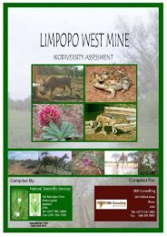
Biodiversity (1 - SRK Consulting
Biodiversity (1 - SRK Consulting
Biodiversity (1 - SRK Consulting

You also want an ePaper? Increase the reach of your titles
YUMPU automatically turns print PDFs into web optimized ePapers that Google loves.
7.2 Description of the plant communities<br />
The distribution of the plant communities identified in this study are shown in the<br />
vegetation map (Figure 9)<br />
Figure 9. Vegetation map of the study site<br />
1 Bushmanland Sandy Grassland<br />
The largest patch of this vegetation type occurs south-east and west of Aggeneys. This is<br />
the grassland of the valley bottoms on mobile or semi-mobile dunes. The largest patch of<br />
this vegetation type fills the shallow valley of the Koa River. The sands and calcrete are of<br />
Quarternary sediments. The area is mostly representing the Af land type, with deep red<br />
sands predominant, with red sand dunes. The sand dunes suggest similarity to southern<br />
Kalahari duneveld flora Mucina & Rutherford 2006). Rainfall is low, 70-110 mm per<br />
annum, mostly falling in late summer to autumn.<br />
The area is typically covered by sparse open grassland, with Stipagrostis species and<br />
Schmidtia kalahariensis prominent, with scattered, drought resistant dwarf shrubs or small<br />
trees, e.g. Rhigozum trichotomum, Boscia albitrunca, Parkinsonia africana and Lycium<br />
cinereum (Figures 10 & 11).<br />
SATO Aggeneys July 2011 45