4.7 Getting started - WindSim
4.7 Getting started - WindSim
4.7 Getting started - WindSim

You also want an ePaper? Increase the reach of your titles
YUMPU automatically turns print PDFs into web optimized ePapers that Google loves.
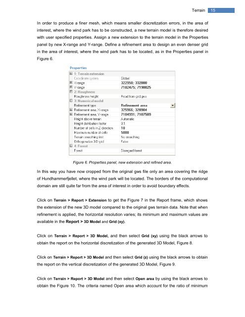
Terrain<br />
15<br />
In order to produce a finer mesh, which means smaller discretization errors, in the area of<br />
interest, where the wind park has to be constructed, a new terrain model is therefore desired<br />
with user specified properties. Assign a new extension to the terrain model in the Properties<br />
panel by new X-range and Y-range. Define a refinement area to design an even denser grid<br />
in the area of interest, where the wind park has to be located, as in the Properties panel in<br />
Figure 6.<br />
Figure 6. Properties panel, new extension and refined area.<br />
In this way you have now cropped from the original gws file only an area covering the ridge<br />
of Hundhammerfjellet, where the wind park will be located. The borders of the computational<br />
domain are still quite far from the area of interest in order to avoid boundary effects.<br />
Click on Terrain > Report > Extension to get the Figure 7 in the Report frame, which shows<br />
the extension of the new 3D model compared to the original gws terrain data. Note that when<br />
refinement is applied, the horizontal resolution varies; its minimum and maximum values are<br />
available in the Report > 3D Model and Grid (xy).<br />
Click on Terrain > Report > 3D Model, and then select Grid (xy) using the black arrows to<br />
obtain the report on the horizontal discretization of the generated 3D Model, Figure 8.<br />
Click on Terrain > Report > 3D Model and then select Grid (z) using the black arrows to obtain<br />
the report on the vertical discretization of the generated 3D Model, Figure 9.<br />
Click on Terrain > Report > 3D Model and then select Open area by using the black arrows to<br />
obtain the Figure 10. The criteria named Open area which account for the ratio of minimum