EurOCEAN 2000 - Vlaams Instituut voor de Zee
EurOCEAN 2000 - Vlaams Instituut voor de Zee
EurOCEAN 2000 - Vlaams Instituut voor de Zee

Create successful ePaper yourself
Turn your PDF publications into a flip-book with our unique Google optimized e-Paper software.
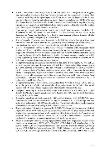
• Historic bathymetric chart analysis by WHOI and SOES for a 300 year period suggests<br />
that the number of inlets in the Ria Formosa system may be increasing over time while<br />
computer mo<strong>de</strong>lling of the lagoon system by WHOI shows that the lagoon can be divi<strong>de</strong>d<br />
into three largely separate hydrodynamic cells. Lagoon mo<strong>de</strong>lling by HIDROMOD and<br />
LU shows that the Barra Nova Inlet is ebb dominant, which will assist longshore easterly<br />
movement by wave action, and that more tidal water is drawn to the Inlet from the western<br />
part of the lagoon than from channels to the east.<br />
• Analysis of recent hydrographic charts by UALG and computer mo<strong>de</strong>lling by<br />
HIDROMOD and LU shows that the erosion that has occurred on the insi<strong>de</strong> of the<br />
Peninsula <strong>de</strong> Ancão near the Barra Nova Inlet is a consequence of the re-direction of tidal<br />
flow in the lagoon by the opening of the new Inlet.<br />
• Use of mo<strong>de</strong>ls of aeolian sand transport by LERG has shown that significant sand<br />
movement from the beach dunes to the lagoon only occurs during high storm events (1-2<br />
per year) and that transport is very sensitive to the state of the dune vegetation.<br />
• Use of bathymetric surveys of the Ancão beaches combined with fluorescent tracer<br />
studies by UB and UALG has shown that the easterly moving longshore sand transport is<br />
trapped by the Barra Nova's ebb shoal, which has also received material from the ero<strong>de</strong>d<br />
area on the lagoon si<strong>de</strong> of the Peninsula <strong>de</strong> Ancão. Sediment transport calculations by UB<br />
using engineering formulae show realistic comparison with sediment movement on the<br />
ebb shoal system as <strong>de</strong>termined by tracer studies.<br />
• Computer mo<strong>de</strong>lling of sediment movements in the Barra Nova vicinity by KU and LU<br />
show a complex pattern of <strong>de</strong>position on ebb and flood shoals and rapid erosion of beachsize<br />
sand from the Inlet channel. The nett ebb loss of sand through the inlet is confirmed<br />
by LU computations of bedload sediment movements, which represents the dominant<br />
mo<strong>de</strong> of transport until major cliff erosion of medium-sized sand on the downcoast Ile <strong>de</strong><br />
Barreta occurs, which computer mo<strong>de</strong>lling suggests disperses rapidly to the ebb and flood<br />
shoal areas. The effect of wave action in the inlet cross-section has been shown by LU to<br />
reduce the nett ebb loss of sand.<br />
• Computer mo<strong>de</strong>lling of flow patterns through the Barra Nova Inlet by KU, LNEC and LU<br />
show the presence of ti<strong>de</strong> and wave-induced gyre-circulations in the Inlet flow crosssection<br />
on both flood (Ancão si<strong>de</strong>) and ebb (Barreta si<strong>de</strong>) phases of the ti<strong>de</strong>.<br />
• Computer mo<strong>de</strong>lling of wave transformations from offshore to the Inlet by LU, KU,<br />
LNEC, IMAR show major reduction in wave heights (60-70%) due to <strong>de</strong>pth limitations<br />
and refraction in the Inlet.<br />
• Computer mo<strong>de</strong>lling of tidal currents by KU and LU together with CCMS-POL barge<br />
observations show maximum ebb tidal currents of between 2.5-3.5 m/s through the Inlet<br />
with lower values (some 60-75%) on flood ti<strong>de</strong>s. The mo<strong>de</strong>ls also show good agreement<br />
with surface currents measured by JCU's COSRAD radar system.<br />
• Direct calculations of sediment transport by CCMS-POL based on measurement of ripple<br />
migrations in the Inlet from a jack-up barge using sonar shows good comparisons with<br />
engineering transport equations, while prediction of bed form sizes by LU's engineering<br />
bedform mo<strong>de</strong>l shows similar values to CCMS-POL's measurements: features not<br />
predicated by existing engineering equations used for <strong>de</strong>sign purposes.<br />
• Much of the Project's remote sensing equipment has been found to produce reliable results<br />
during storm conditions: BLISS (UP), STABLE (CCMS-POL) bed tripods offshore; S4<br />
current meters (UB) inshore; automatic tracer vehicles in the inter-tidal zone (UB, UALG);<br />
the use (CCMS-POL) of a jack-up barge (SEACORE Ltd) in the Inlet itself; X-Band radar<br />
(CCMS-POL) on the barge for waves as well as ECM's , SONTEK ADVs and ADCPs<br />
411