

Neolithic and Bronze Age Landscapes of North Mayo: Report 2011
Neolithic and Bronze Age Landscapes of North Mayo: Report 2011
Neolithic and Bronze Age Landscapes of North Mayo: Report 2011

You also want an ePaper? Increase the reach of your titles
YUMPU automatically turns print PDFs into web optimized ePapers that Google loves.
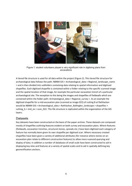
Figure 1: student volunteers played a very significant role in digitising plans from<br />
excavations<br />
A tiered file structure is used for all data within the project (Figure 2). This tiered file structure for<br />
archaeological data follows the path: NBNM GIS > Archaeological_data > Regional_l<strong>and</strong>scape_name<br />
> <strong>and</strong> is then divided into subfolders containing data relating to spatial information <strong>and</strong> digitised<br />
shapefiles. Each digitised shapefile is contained within a folder relating to the specific scanned image<br />
<strong>and</strong> the spatial location <strong>of</strong> that image, for example the particular excavation trench <strong>of</strong> a particular<br />
archaeological site. The exception to this being the images <strong>and</strong> shapefiles <strong>of</strong> fieldwalls which are<br />
contained within the folder path: Archaeological_data > Regional_survey >. As an example the<br />
digitised shapefile for a mid-excavation plan (scanned as image 022) <strong>of</strong> cutting B at Rathlackan<br />
would be NBNM GIS > Archaeological_data > Rathlackan_Ballinglen_l<strong>and</strong>scape > shapefiles ><br />
cutting_b > mid_ex > scan_022. This file structure is replicated within the organsiation <strong>of</strong> the GIS<br />
layers.<br />
Datasets<br />
Key datasets have been constructed on the basis <strong>of</strong> the paper archive. These datasets are composed<br />
mostly <strong>of</strong> shapefiles outlining features evident on both survey <strong>and</strong> excavation plans. Where features<br />
(fieldwalls, excavation trenches, structural stones, spreads etc.) have been digitised each category <strong>of</strong><br />
feature has normally been given its own shapefile per digitised scan. Where necessary created<br />
shapefiles have been given a variety <strong>of</strong> additional attributes (for instance where stones on an<br />
excavation plan relate to different construction features) to allow more nuanced querying <strong>and</strong><br />
display <strong>of</strong> data. In addition a number <strong>of</strong> databases <strong>of</strong> small scale have been constructed to aid in<br />
displaying key sites <strong>and</strong> features at a variety <strong>of</strong> spatial scales <strong>and</strong> to aid in spatially defining key<br />
georectification anchors.<br />
6


