

Lake Erie North Shore Watershed Plan - Niagara Peninsula ...
Lake Erie North Shore Watershed Plan - Niagara Peninsula ...
Lake Erie North Shore Watershed Plan - Niagara Peninsula ...

You also want an ePaper? Increase the reach of your titles
YUMPU automatically turns print PDFs into web optimized ePapers that Google loves.
LAKE ERIE NORTH SHORE WATERSHED PLAN<br />
being carried out as required by the MOE and are available for public commenting as<br />
distributed by Region of <strong>Niagara</strong>. The studies are as follows: Archaeological Impact<br />
Assessment, Natural Resources Impact Assessment, Socio-Economic Impact<br />
Assessment Study, preliminary Engineering Design, and a Financial Analysis (RMN No<br />
Date).<br />
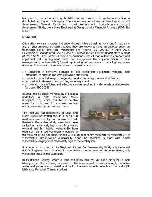
Road Salt<br />
Originating from salt storage and snow disposal sites as well as from runoff, road salts<br />
are an environmental concern because they are known to have an adverse effect on<br />
freshwater ecosystems, soil, vegetation and wildlife (EC 2004a). In April 2004,<br />
Environment Canada produced a Code of Practice for the Environmental Management<br />
of Road Salts. The Code of Practice recommends that all road authorities prepare and<br />
implement salt management plans that incorporate the implementation of best<br />
management practices (BMP) for salt application, salt storage and handling, and snow<br />
disposal. The benefits of improved salt management include:<br />
a reduction in corrosive damage to salt application equipment, vehicles, and<br />
infrastructure such as concrete sidewalks and steps;<br />
a reduction in salt damage to vegetation and surrounding roads and walkways;<br />
reduced salt releases to surrounding waterways; and<br />
an overall, more efficient and effective service resulting in safer roads and sidewalks<br />
for users (EC 2004b).<br />
In 2005, the Regional Municipality of <strong>Niagara</strong><br />
undertook a Salt Vulnerability Study<br />
(Ecoplans Ltd), which identified vulnerable<br />
areas from road salt for land use, surface<br />
water groundwater, and natural areas.<br />
The relatively flat topography of <strong>Lake</strong> <strong>Erie</strong><br />
<strong>North</strong> <strong>Shore</strong> watershed results in a high to<br />
moderate vulnerability to surface run off,<br />
therefore the entire study area has been<br />
ranked as moderately high for surface water,<br />
wetland and fish habitat vulnerability from<br />
road salt. Land use vulnerability outside of<br />
the wetland areas has been ranked with a predominantly moderate to moderately low<br />
vulnerability. Groundwater vulnerability along the shoreline is high, with inland<br />
vulnerability ranging from moderately high to moderately low.<br />
It is important to note that the Regional <strong>Niagara</strong> Salt Vulnerability Study only assessed<br />
risk for Regional roads. Municipal roads should also be assessed to better identify salt<br />
vulnerable areas in the watershed.<br />
In Haldimand County, where a road salt study has not yet been prepared, a Salt<br />
Management <strong>Plan</strong> is being prepared for the assessment of environmentally sensitive<br />
areas and procedures to assist and control the environmental effects of road salts (N.<br />
Mahmood Personal Communication).<br />
103


