

Lake Erie North Shore Watershed Plan - Niagara Peninsula ...
Lake Erie North Shore Watershed Plan - Niagara Peninsula ...
Lake Erie North Shore Watershed Plan - Niagara Peninsula ...

Create successful ePaper yourself
Turn your PDF publications into a flip-book with our unique Google optimized e-Paper software.
LAKE ERIE NORTH SHORE WATERSHED PLAN<br />
Empire Beach Backshore Forest Basin Life Science ANSI<br />
This provincially significant Area of Natural and Scientific Interest has also been<br />
designated as a Provincially Significant coastal Wetland. The shallow basin is a clay<br />
covered limestone plain resulting in a poorly drained area which is separated from <strong>Lake</strong><br />
<strong>Erie</strong>‟s shoreline by a small sand dune complex which hampers drainage resulting in a<br />
low lying swampy area. According to Macdonald (1990b) the basin itself includes a<br />
series of parallel, low sand ridges which barely rise through the organic soils of the<br />
wetland. The vegetation represents a number of <strong>Lake</strong> <strong>Erie</strong> coastal communities, of<br />
particular importance according Macdonald (1990b), is the temperate element of the<br />
deciduous and mixed lowland forests of the swamp basin. They present intermediate to<br />
sub-mature growths of silver maple, black ash, yellow birch, eastern hemlock and red<br />
ash. In the wetland basin, deciduous swamps of silver maple, white elm and red ash<br />
dominate; the sand dune vegetation is dominated by upland deciduous forest of silver<br />
maple, american beach and northern red oak with a well developed shrub and herb flora<br />
understory; and the forested vegetation along northern and eastern peripheral areas are<br />
generally disturbed by drainage, clearing and cutting, although in the north-eastern<br />
section, the “forest cover appears to have succeeded from past selective cutting,<br />
resulting in a very eclectic, but notably rich, complement in all the strata (Macdonald<br />
1990)”.<br />
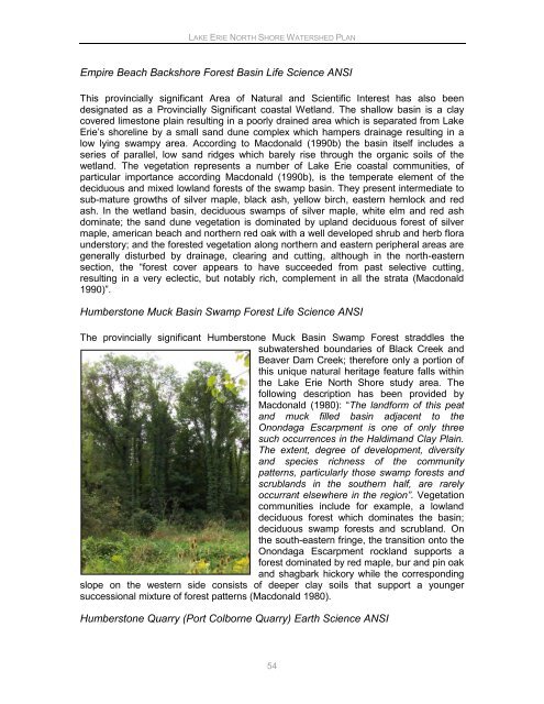
Humberstone Muck Basin Swamp Forest Life Science ANSI<br />
The provincially significant Humberstone Muck Basin Swamp Forest straddles the<br />
subwatershed boundaries of Black Creek and<br />
Beaver Dam Creek; therefore only a portion of<br />
this unique natural heritage feature falls within<br />
the <strong>Lake</strong> <strong>Erie</strong> <strong>North</strong> <strong>Shore</strong> study area. The<br />
following description has been provided by<br />
Macdonald (1980): “The landform of this peat<br />
and muck filled basin adjacent to the<br />
Onondaga Escarpment is one of only three<br />
such occurrences in the Haldimand Clay Plain.<br />
The extent, degree of development, diversity<br />
and species richness of the community<br />
patterns, particularly those swamp forests and<br />
scrublands in the southern half, are rarely<br />
occurrant elsewhere in the region”. Vegetation<br />
communities include for example, a lowland<br />
deciduous forest which dominates the basin;<br />
deciduous swamp forests and scrubland. On<br />
the south-eastern fringe, the transition onto the<br />
Onondaga Escarpment rockland supports a<br />
forest dominated by red maple, bur and pin oak<br />
and shagbark hickory while the corresponding<br />
slope on the western side consists of deeper clay soils that support a younger<br />
successional mixture of forest patterns (Macdonald 1980).<br />
Humberstone Quarry (Port Colborne Quarry) Earth Science ANSI<br />
54


