

Lake Erie North Shore Watershed Plan - Niagara Peninsula ...
Lake Erie North Shore Watershed Plan - Niagara Peninsula ...
Lake Erie North Shore Watershed Plan - Niagara Peninsula ...

You also want an ePaper? Increase the reach of your titles
YUMPU automatically turns print PDFs into web optimized ePapers that Google loves.
LAKE ERIE NORTH SHORE WATERSHED PLAN<br />
Land Use<br />
Current Land Use<br />
The <strong>Lake</strong> <strong>Erie</strong> <strong>North</strong> <strong>Shore</strong> watershed study area spans the Town of Fort <strong>Erie</strong> (10%),<br />
City of Port Colborne (51%), Township of Wainfleet (24%), and Haldimand County<br />
(15%). Land use in the study area is characterized mainly by agriculture, recreation, and<br />
natural areas interspersed with strips and nodes of residential areas with one small<br />
concentration of urban land uses in Crystal Beach and one major concentration of urban<br />
land uses (residential, commercial, industrial) in the City of Port Colborne (Figures 9a<br />
and 9b). Numerous active and abandoned quarries are within the <strong>Lake</strong> <strong>Erie</strong> <strong>North</strong> <strong>Shore</strong><br />
study area. In addition, closed quarries that have been converted to recreational<br />
activities are also present in the watershed such as Sherkston <strong>Shore</strong>s Resort and<br />
Wainfleet Wetlands Conservation Area.<br />
Agriculture<br />
The location of the <strong>Niagara</strong> <strong>Peninsula</strong> between the moderating influences of the Great<br />
<strong>Lake</strong>s and the <strong>Niagara</strong> Escarpment creates a unique microclimate that supports a viable<br />
agricultural community. In fact, the combination of geography and climate make parts of<br />
<strong>Niagara</strong> a thriving tender fruit district (<strong>Plan</strong>scape 2003). In 2001, the Region of <strong>Niagara</strong><br />
commissioned a study to assess the nature of agriculture in <strong>Niagara</strong>; Regional<br />
Agricultural Economic Impact Study 2003. The study confirmed that “agriculture is of<br />
tremendous importance to the <strong>Niagara</strong> economy both directly and indirectly” (<strong>Plan</strong>scape<br />
2003). According to the study, in 2001 the agricultural industry generated over $511<br />
million in gross farm receipts in <strong>Niagara</strong>.<br />
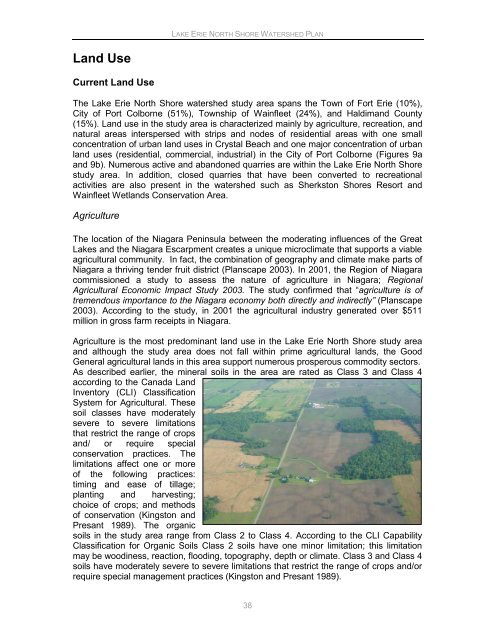
Agriculture is the most predominant land use in the <strong>Lake</strong> <strong>Erie</strong> <strong>North</strong> <strong>Shore</strong> study area<br />
and although the study area does not fall within prime agricultural lands, the Good<br />
General agricultural lands in this area support numerous prosperous commodity sectors.<br />
As described earlier, the mineral soils in the area are rated as Class 3 and Class 4<br />
according to the Canada Land<br />
Inventory (CLI) Classification<br />
System for Agricultural. These<br />
soil classes have moderately<br />
severe to severe limitations<br />
that restrict the range of crops<br />
and/ or require special<br />
conservation practices. The<br />
limitations affect one or more<br />
of the following practices:<br />
timing and ease of tillage;<br />
planting and harvesting;<br />
choice of crops; and methods<br />
of conservation (Kingston and<br />
Presant 1989). The organic<br />
soils in the study area range from Class 2 to Class 4. According to the CLI Capability<br />
Classification for Organic Soils Class 2 soils have one minor limitation; this limitation<br />
may be woodiness, reaction, flooding, topography, depth or climate. Class 3 and Class 4<br />
soils have moderately severe to severe limitations that restrict the range of crops and/or<br />
require special management practices (Kingston and Presant 1989).<br />
38


