

Lake Erie North Shore Watershed Plan - Niagara Peninsula ...
Lake Erie North Shore Watershed Plan - Niagara Peninsula ...
Lake Erie North Shore Watershed Plan - Niagara Peninsula ...

You also want an ePaper? Increase the reach of your titles
YUMPU automatically turns print PDFs into web optimized ePapers that Google loves.
LAKE ERIE NORTH SHORE WATERSHED PLAN<br />
Overview of Restoration Strategy<br />
The <strong>Lake</strong> <strong>Erie</strong> <strong>North</strong> <strong>Shore</strong> watershed faces many challenges and its restoration requires a<br />
collaboration of all stakeholders with a vested interest in this study area. As outlined in the<br />
Restoration Strategy, many of the subwatersheds are drained by municipal drains. Therefore finding<br />
a balance between form and function is critical to this study area. The Restoration Strategy identifies<br />
numerous priority areas for the potential establishment of riparian buffer areas. The establishment<br />
and maintenance of riparian buffer zones plays an important role in terms of water quality and fish<br />
habitat not only for the subwatersheds but for <strong>Lake</strong> <strong>Erie</strong>. Upstream activities need to be managed in<br />
a sustainable manner as these actions affect not only the ecosystem in its direct and surrounding<br />
vicinity, but <strong>Lake</strong> <strong>Erie</strong> and its related ecosystems. In addition, maintaining a healthy shoreline is also<br />
important in protecting the overall water quality of <strong>Lake</strong> <strong>Erie</strong>.<br />
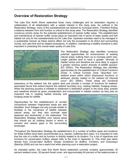
The Restoration Strategy also identifies numerous<br />
potential opportunities for enhancement of existing<br />
natural areas; bulking them up to increase patch size.<br />
Larger patches tend to have a greater “diversity of<br />
habitat niches and therefore are more likely to support<br />
a greater richness and/or diversity of wildlife species”<br />
(EC 2004c). The Restoration Strategy also identifies<br />
opportunities for the establishment of Critical Functions<br />
Zones. A Critical Function Zone “describes nonwetland<br />
areas within which biophysical functions or<br />
attributes directly related to the wetland [of interest]<br />
occur” (EC 2004c). These areas are functional<br />
extensions of the wetland into the upland area and provide a number of functions for wetlandassociated<br />
fauna that extend beyond the wetland boundary (e.g. nesting habitats, foraging areas).<br />
When the planning process is initiated to implement a restoration project in the study area, prairies<br />
and meadows should be given consideration and incorporated in habitat creation as they play an<br />
important role in creating habitat diversity and<br />
foraging areas for wildlife.<br />
Opportunities for the establishment of corridor<br />
connections between fragmented areas are also<br />
identified. Such linkages not only provide shelter to<br />
facilitate in the movement of wildlife between<br />
natural areas, but they also promote seed<br />
dispersal and biodiversity in the watershed. The<br />
Restoration Strategy identifies core natural areas<br />
that should act as building blocks in which to<br />
connect and restore gaps in the surrounding<br />
landscape.<br />
Throughout the Restoration Strategy the establishment of a number of buffers types and locations<br />
for these buffers have been recommended (e.g. riparian, buffering land uses). It is important to note<br />
that the role of a buffer and its function is directly related to its location. For a list of objectives and<br />
functions for conservation buffers, please refer to the chart in Appendix G. This chart was taken<br />
directly from Conservation Buffers; Design Guidelines for Buffers, Corridors, and Greenways<br />
(Bentrup 2008) and can be a useful tool when planning such a restoration project.<br />
As indicated earlier, the <strong>Lake</strong> <strong>Erie</strong> <strong>North</strong> <strong>Shore</strong> watershed currently contains approximately 16<br />
percent wetland cover, 20 percent forest cover, and approximately 64 percent of the watercourses in<br />
233


