

Lake Erie North Shore Watershed Plan - Niagara Peninsula ...
Lake Erie North Shore Watershed Plan - Niagara Peninsula ...
Lake Erie North Shore Watershed Plan - Niagara Peninsula ...

Create successful ePaper yourself
Turn your PDF publications into a flip-book with our unique Google optimized e-Paper software.
LAKE ERIE NORTH SHORE WATERSHED PLAN<br />
Name: Point Abino (Brady 1980)<br />
Site I.D. FE-11-00-00-00-00<br />
Municipality: Town of Fort <strong>Erie</strong><br />
Subwatershed: Point Abino Drain<br />
Approx. Size: 639 hectares<br />
General Summary: This site is bounded by Pleasant Beach Road to the west,<br />
Willowood Avenue to the east, Sherkston Road and Michener Road to the north and<br />
<strong>Lake</strong> <strong>Erie</strong> to the south. Along the lake there are high dunes with good drainage, while<br />
behind these dunes the area is very low and consists primarily of marsh and swamp<br />
communities. The sand dunes at Point Abino support a mature virgin forest and are<br />
considered a unique geomorphological and biological feature in Ontario. The foredune<br />
and beach community adjacent to <strong>Lake</strong> <strong>Erie</strong> is also significant since it is one of few<br />
examples of a natural, relatively undisturbed beach at the eastern end of <strong>Lake</strong> <strong>Erie</strong>. A<br />
mature Silver Maple Deciduous Swamp lies north of the deciduous dune forest and is a<br />
high quality, mature and undisturbed forest community. The Shallow Marshes or<br />
backdune wetlands are characterized by Broad-leaved Sedges and deep organic soils.<br />
The Point Abino Drain runs along the north and west of this study site and has lead to a<br />
drastic drying of the once dominant wetland communities and swamp forests. In places<br />
there are 120 cm of organics but they are mostly dry. The deep open water channel of<br />
the drain supports a continuous mat of Lesser Duckweed. There are a total of 448<br />
recorded taxa for this study site.<br />
This site is also in part designated Point Abino Wetland Complex PSW, Point Abino<br />
<strong>Peninsula</strong> Sandland Forest Life Science ANSI and Old growth forest Marcy’s Woods<br />
and Philips Sugar Bush Grove. This site also encompasses Baird Estate<br />
Conservation Area.<br />
Name: Humberstone Marsh (Brady 1980)<br />
Site ID: PC-03-00-00-00-00<br />
Municipality: City of Port Colborne<br />
Subwatershed: Black Creek, Indian Creek Drain and Beaver Dam Creek Drain<br />
Approx. Size: 895 hectares<br />
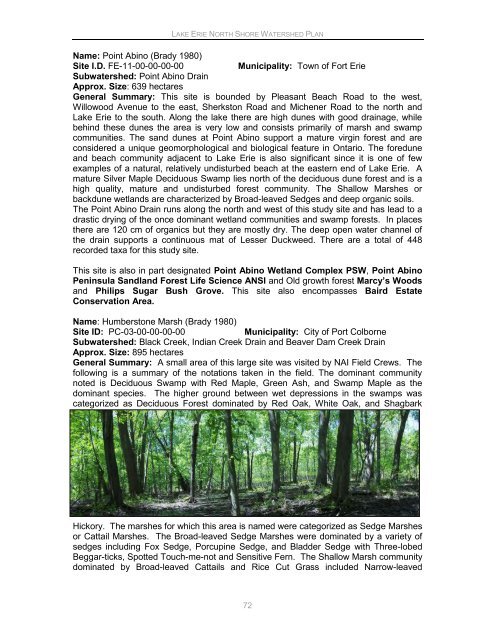
General Summary: A small area of this large site was visited by NAI Field Crews. The<br />
following is a summary of the notations taken in the field. The dominant community<br />
noted is Deciduous Swamp with Red Maple, Green Ash, and Swamp Maple as the<br />
dominant species. The higher ground between wet depressions in the swamps was<br />
categorized as Deciduous Forest dominated by Red Oak, White Oak, and Shagbark<br />
Hickory. The marshes for which this area is named were categorized as Sedge Marshes<br />
or Cattail Marshes. The Broad-leaved Sedge Marshes were dominated by a variety of<br />
sedges including Fox Sedge, Porcupine Sedge, and Bladder Sedge with Three-lobed<br />
Beggar-ticks, Spotted Touch-me-not and Sensitive Fern. The Shallow Marsh community<br />
dominated by Broad-leaved Cattails and Rice Cut Grass included Narrow-leaved<br />
72


