Active Transportation Plan - City of Pomona
Active Transportation Plan - City of Pomona
Active Transportation Plan - City of Pomona

You also want an ePaper? Increase the reach of your titles
YUMPU automatically turns print PDFs into web optimized ePapers that Google loves.
<strong>Pomona</strong> <strong>Active</strong> <strong>Transportation</strong> <strong>Plan</strong><br />
November 2012<br />
Chapter 4 – Proposed <strong>Active</strong> <strong>Transportation</strong> Network<br />
4. Proposed <strong>Active</strong> <strong>Transportation</strong> Network<br />
While all streets should be designed to safely accommodate all who use them, the proposed active<br />
transportation network consists <strong>of</strong> pedestrian improvements at a number <strong>of</strong> locations and bicycling<br />
facilities that are designed to be the primary system for active transportation within, to, and from <strong>Pomona</strong>.<br />
The pedestrian-oriented improvements and the Bikeway Network are the primary tools that allow the <strong>City</strong><br />
to focus and prioritize implementation efforts where they will provide the greatest community benefit.<br />
Streets or corridors selected for inclusion in the networks are targeted for specific improvements in this<br />
<strong>Plan</strong>, such as the installation <strong>of</strong> bicycling lanes, <strong>of</strong>f-street paths, signage, crossing improvements, or<br />
streetscape improvements. Combined, these two networks form the citywide active transportation<br />
network. The individual projects in this <strong>Plan</strong> represent specific improvements considered necessary to<br />
help <strong>Pomona</strong> meet its goals and objectives for active transportation.<br />
Once completed, the active transportation network will provide safer and more direct travel paths<br />
throughout the <strong>City</strong> for those who prefer to walk or bike. The proposed system was developed according<br />
to the following criteria:<br />
Connection to Activity Centers: Schools and universities; community facilities such as Garey High School,<br />
the library, the community center, parks, and open space; and neighborhood commercial districts should<br />
be accessible by foot or bicycle. Residents should be able to walk or bike from home to both local and<br />
regional destinations.<br />
Comfort and Access: The system should provide safe and equitable access from all areas <strong>of</strong> the <strong>City</strong> to<br />
both commute and recreation destinations, and should be designed for people <strong>of</strong> all levels <strong>of</strong> ability.<br />
Purpose: Each link in the system should serve one or a combination <strong>of</strong> these purposes: encourage<br />
bicycling for recreation, improve facilities for commuting, and provide a connection to the citywide bike<br />
network. On-street facilities should be continuous and direct, and <strong>of</strong>f-street facilities should have a<br />
minimal number <strong>of</strong> arterial crossings and uncontrolled intersections.<br />
Connection to Regional Networks: The system should provide access to regional bikeways, regional<br />
trails, and routes in adjacent communities.<br />
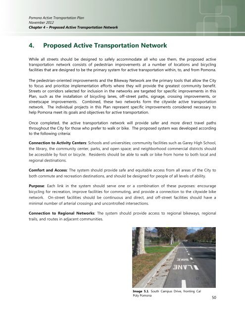
Image 5.1. South Campus Drive, fronting Cal<br />
Poly <strong>Pomona</strong><br />
50