Appendix 1 Land Allocations Local Plan
Appendix 1 Land Allocations Local Plan
Appendix 1 Land Allocations Local Plan
You also want an ePaper? Increase the reach of your titles
YUMPU automatically turns print PDFs into web optimized ePapers that Google loves.
Dover District Council<br />
<strong>Land</strong> <strong>Allocations</strong> <strong>Local</strong> <strong>Plan</strong> Adopted 2015<br />
129<br />
3.6.9 St Margaret's<br />
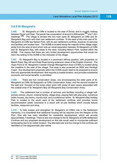
3.406 St. Margaret's at Cliffe is located to the east of Dover, and is roughly midway<br />
between Dover and Deal. The parish has a population of around 2,499 people (43) and 1,501<br />
dwellings (44) .The village is divided into two main parts St. Margaret's at Cliffe and St.<br />
Margaret's Bay each with their own settlement confines. To the west of the main part of St.<br />
Margaret's at Cliffe lies Nelson Park, with its own settlement confines, however no services<br />
and facilities are located here. The AONB is located along the majority of the village edge,<br />
aside from the area of land which acts as visual separation between St Margaret's at Cliffe<br />
and St. Margaret's Bay, with areas to the west, including Nelson Park, located within the<br />
AONB. This means that there are very limited development opportunities that would not<br />
harm the setting of the AONB or the character of the village.<br />
3.407 St. Margaret's Bay is located in a prominent cliff-top position, with properties on<br />
Beach Road, Bay Hill and Hotel Road having extensive views of the English Channel. The<br />
Hope Point to St. Margaret's Coastal Change Management Area (CCMA) is located along<br />
the coastline to the east of the village. This area is also protected as SSSI and Heritage<br />
Coast. Any development proposals within the CCMA would need to be assessed to ensure<br />
that only appropriate development, that requires a coastal location, and provides substantial<br />
economic and social benefits, is permitted.<br />
3.408 There are two conservation areas, one encompassing the older parts of St.<br />
Margaret's at Cliffe (St Margaret's at Cliffe Conservation Area), and the second located to<br />
the east and focused on the loose urban grain with areas of open space associated with<br />
the coastal area of St. Margaret's Bay (St Margaret's Bay Conservation Area).<br />
3.409 The settlement has a number of services and facilities including a village hall,<br />
primary school, church, medical facility, village shop, playing field with play area, numerous<br />
public houses, tea rooms, country club, and a conference centre. St. Margaret's Bay Holiday<br />
Park is located to the south west of the settlement confines, and provides tourist<br />
accommodation (static caravans) in a resort with on-site facilities which include leisure<br />
facilities, restaurant and shop.<br />
3.410 To help sustain and strengthen St. Margaret's at Cliffe's role in the Settlement<br />
Hierarchy, it is considered that additional housing will be required over the lifespan of this<br />
<strong>Plan</strong>. One site has been identified for residential development, which will provide<br />
approximately 7 dwellings. There is also one change to the St. Margaret's at Cliffe Settlement<br />
Confines and any proposed development on this site would need to incorporate sufficient<br />
landscaping due to its visible location. The allocated site and the change to the confines are<br />
identified on the diagrammatic plan below.<br />
43 2011 Census table QS103EW<br />
44 2011 Census table QS418EW


