Aircraft Operations
Doc 8168 Aircraft Operations, Volume I Flight Procedures
Doc 8168 Aircraft Operations, Volume I Flight Procedures
- No tags were found...

Create successful ePaper yourself
Turn your PDF publications into a flip-book with our unique Google optimized e-Paper software.
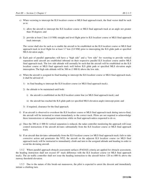
Part III — Section 2, Chapter 1<br />
III-2-1-5<br />
c) When vectoring to intercept the ILS localizer course or MLS final approach track, the final vector shall be such<br />
as to:<br />
1) allow the aircraft to intercept the ILS localizer course or MLS final approach track at an angle not greater<br />
than 30 degrees; and<br />
2) provide at least 2 km (1.0 NM) straight and level flight prior to ILS localizer course or MLS final approach<br />
track intercept.<br />
The vector shall also be such as to enable the aircraft to be established on the ILS localizer course or MLS final<br />
approach track in level flight for at least 3.7 km (2.0 NM) prior to intercepting the ILS glide path or specified<br />
MLS elevation angle.<br />
d) Each pair of parallel approaches will have a “high side” and a “low side” for vectoring to provide vertical<br />
separation until aircraft are established inbound on their respective parallel ILS localizer course and/or MLS<br />
final approach track. The low side altitude will normally be such that the aircraft will be established on the ILS<br />
localizer course or MLS final approach track well before ILS glide path or specified MLS elevation angle<br />
interception. The high side altitude will be 300 m (1 000 ft) above the low side.<br />
e) When the aircraft is assigned its final heading to intercept the ILS localizer course or MLS final approach track,<br />
it shall be advised of:<br />
1) its final heading to intercept the ILS localizer course (or MLS final approach track);<br />
2) the altitude to be maintained until both:<br />
i) the aircraft is established on the ILS localizer centre line (or MLS final approach track); and<br />
ii) the aircraft has reached the ILS glide path (or specified MLS elevation angle) intercept point; and<br />
3) if required, clearance for the final approach.<br />
f) If an aircraft is observed to overshoot the ILS localizer course or MLS final approach track during turn-to-final,<br />
the aircraft will be instructed to return immediately to the correct track. Pilots are not required to acknowledge<br />
these transmissions or subsequent instructions while on final approach unless requested to do so.<br />
g) Once the 300 m (1 000 ft) vertical separation is reduced, the radar controller monitoring the approach will issue<br />
control instructions if the aircraft deviates substantially from the ILS localizer course or MLS final approach<br />
track.<br />
h) If an aircraft that deviates substantially from the ILS localizer course (or MLS final approach track) fails to take<br />
corrective action and penetrates the NTZ, the aircraft on the adjacent ILS localizer course (or MLS final<br />
approach track) will be instructed to immediately climb and turn to the assigned altitude and heading in order to<br />
avoid the deviating aircraft.<br />
1.5.2 Where parallel approach obstacle assessment surfaces (PAOAS) criteria are applied for obstacle assessment,<br />
the heading instruction shall not exceed 45° track difference with the ILS localizer course (or MLS final approach<br />
track). The air traffic controller shall not issue the heading instruction to the aircraft below 120 m (400 ft) above the<br />
runway threshold elevation.<br />
1.5.3 Due to the nature of this break-out manoeuvre, the pilot is expected to arrest the descent and immediately<br />
initiate a climbing turn.<br />
23/11/06