

Assabet River NWR Final CCP - U.S. Fish and Wildlife Service
Assabet River NWR Final CCP - U.S. Fish and Wildlife Service
Assabet River NWR Final CCP - U.S. Fish and Wildlife Service

Create successful ePaper yourself
Turn your PDF publications into a flip-book with our unique Google optimized e-Paper software.
- 28 -<br />
Chapter 3: Refuge <strong>and</strong> Resource Descriptions<br />
Biological Resources<br />
Vegetation <strong>and</strong> Habitat Types<br />
<strong>Service</strong> biologists completed a survey <strong>and</strong> evaluation of the habitat of<br />
portions of what then was still the Fort Devens Sudbury Training Annex in<br />
1992 (USFWS 1995). Short duration site visits, wetl<strong>and</strong> mapping produced<br />
by the <strong>Service</strong>’s national wetl<strong>and</strong> inventory team, forest cover mapping<br />
completed by the Fort Devens Natural Resource<br />
Management Office (NRMO), aerial photographs <strong>and</strong><br />
other existing data were used in the evaluation. The<br />
focus of this evaluation was the eastern portion of the<br />
property north of Hudson Road.<br />
The report notes that aerial photos, extensive stone<br />
walls, successional second-growth forests, old cranberry<br />
bogs <strong>and</strong> discussions with knowledgeable people all<br />
document the fairly extensive farming history of the<br />
l<strong>and</strong> prior to the Army’s acquisition in the early 1940’s.<br />
The presence of diverse wetl<strong>and</strong> <strong>and</strong> upl<strong>and</strong> habitat of<br />
high value to wildlife species was noted. Others have<br />
suggested that the diversity of habitat found on the<br />
refuge is due to the presence of highly varied<br />
topography, soils, drainage patterns, <strong>and</strong> the Army’s<br />
ownership <strong>and</strong> management of the property over a 50<br />
year time span.<br />
Although only portions of what is now the refuge were<br />
evaluated, the report found 476 acres of wetl<strong>and</strong> habitat.<br />
North of Hudson Road, approximately 291 acres (67%)<br />
were forested or mixed forested/shrub cover; 29 acres<br />
(7%) were shrub dominated; 41 acres (9%) were<br />
shrub/emergent herbaceous cover; 62 acres (14%) were<br />
open water ponds; <strong>and</strong> 14 acres (3%) were former<br />
cranberry bogs. The report indicated the portion of the<br />
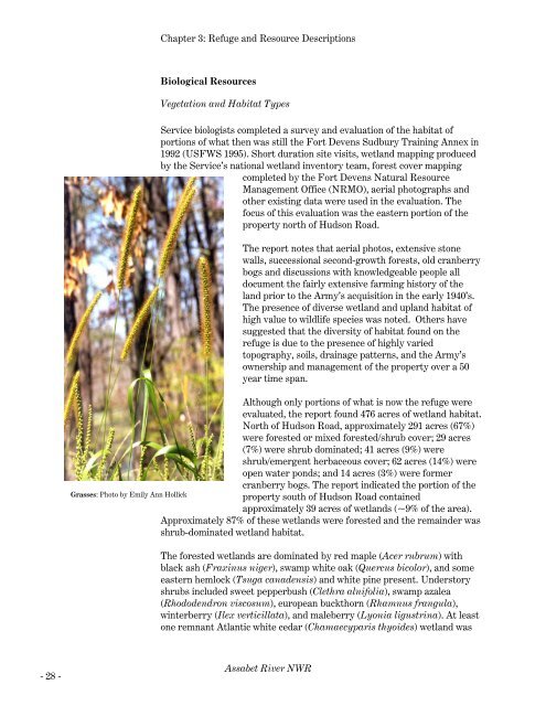
Grasses: Photo by Emily Ann Hollick<br />
property south of Hudson Road contained<br />
approximately 39 acres of wetl<strong>and</strong>s (~9% of the area).<br />
Approximately 87% of these wetl<strong>and</strong>s were forested <strong>and</strong> the remainder was<br />
shrub-dominated wetl<strong>and</strong> habitat.<br />
The forested wetl<strong>and</strong>s are dominated by red maple (Acer rubrum) with<br />
black ash (Fraxinus niger), swamp white oak (Quercus bicolor), <strong>and</strong> some<br />
eastern hemlock (Tsuga canadensis) <strong>and</strong> white pine present. Understory<br />
shrubs included sweet pepperbush (Clethra alnifolia), swamp azalea<br />
(Rhododendron viscosum), european buckthorn (Rhamnus frangula),<br />
winterberry (Ilex verticillata), <strong>and</strong> maleberry (Lyonia ligustrina). At least<br />
one remnant Atlantic white cedar (Chamaecyparis thyoides) wetl<strong>and</strong> was<br />
<strong>Assabet</strong> <strong>River</strong> <strong>NWR</strong>


