

Appendix 2 - Vegetation Communities and Regional Ecosystems
Appendix 2 - Vegetation Communities and Regional Ecosystems
Appendix 2 - Vegetation Communities and Regional Ecosystems

You also want an ePaper? Increase the reach of your titles
YUMPU automatically turns print PDFs into web optimized ePapers that Google loves.
Data at rainforest sites were collected using a variable area 32 nearest neighbour method as<br />
consistent with data collected for the Cape York Bioregion (Stanton <strong>and</strong> Fell 2005). Tertiary<br />
sites were completed in a similar fashion to secondary procedure, except non-woody species were<br />
not recorded. Sites recorded at tertiary level consisted of full species lists in a search area<br />
established via a radial sweep of the Bitterlich device.<br />
Quaternary sites comprised a description of floristic structure, composition, <strong>and</strong> associated<br />
l<strong>and</strong>form. <strong>Vegetation</strong> communities were also recorded on walking traverses. Botanical voucher<br />
specimens were collected throughout the field survey to verify site floristics <strong>and</strong> enable<br />
identification of those species that were problematic. All material was pressed in the field before<br />
being packaged in ethanol as required under AQIS Quarantine Permit. A total of 740 vouchers<br />
were collected.<br />
3.5 Classification of L<strong>and</strong> <strong>and</strong> <strong>Vegetation</strong><br />
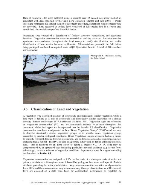
Photograph 3. Helicopter l<strong>and</strong>ing<br />
site Saibai Isl<strong>and</strong>.<br />
A vegetation type is defined as a unit of structurally <strong>and</strong> floristically similar vegetation, whilst a<br />
l<strong>and</strong> type is defined as a unit of structurally <strong>and</strong> floristically similar vegetation on a similar<br />
geology (Stanton <strong>and</strong> Morgan 1977, Sattler <strong>and</strong> Williams 1998). <strong>Vegetation</strong> types are referred to<br />
as ‘vegetation communities’ (VC) <strong>and</strong> are consistently referred to as such throughout this<br />
document, whilst l<strong>and</strong> types are incorporated into the broader RE classification. <strong>Vegetation</strong><br />
communities have been amalgamated to form ‘Broad <strong>Vegetation</strong> Groups’ (BVG’s) <strong>and</strong> are used<br />
to describe structurally similar vegetation groups, or in specific cases, vegetation groups<br />
controlled by similar ecological conditions. Broad <strong>Vegetation</strong> Groups are useful both as a means<br />
to spatially represent detailed floristic information, <strong>and</strong> to define associated ecological parameters<br />
including faunal habitat. The BVG is used as a primary subdivision to define a floristic/structural<br />
type. This is followed by an alpha suffix to define a specific VC. A VC code may be<br />
complemented by an appended code indicating particular structural attributes (e.g. a vine forest<br />
sub-canopy), or as an indicator of vegetation condition. Explanatory notes for vegetation coding<br />
are described in Section 4.1.<br />
<strong>Vegetation</strong> communities are assigned to RE’s on the basis of a three-part code of which the<br />
primary subdivision is bio-regional zone, followed by geology or l<strong>and</strong> zone, with specific floristic<br />
attributes providing the tertiary subdivision. <strong>Vegetation</strong> communities are often amalgamated to<br />
form RE’s, <strong>and</strong> these communities may retain autonomy through classification as a RE sub-unit.<br />
RE’s are assessed on a state wide basis for conservation significance, as regulated by<br />
3d Environmental – Torres Strait <strong>Regional</strong> Ecosystem Mapping Project – August 2008<br />
18