wradlib Documentation - Bitbucket
wradlib Documentation - Bitbucket
wradlib Documentation - Bitbucket
Create successful ePaper yourself
Turn your PDF publications into a flip-book with our unique Google optimized e-Paper software.
<strong>wradlib</strong> <strong>Documentation</strong>, Release 0.1.1<br />
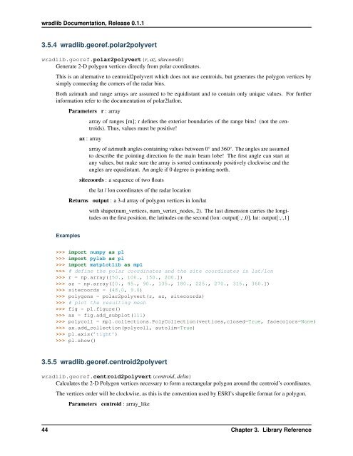
3.5.4 <strong>wradlib</strong>.georef.polar2polyvert<br />
<strong>wradlib</strong>.georef.polar2polyvert(r, az, sitecoords)<br />
Generate 2-D polygon vertices directly from polar coordinates.<br />
This is an alternative to centroid2polyvert which does not use centroids, but generates the polygon vertices by<br />
simply connecting the corners of the radar bins.<br />
Both azimuth and range arrays are assumed to be equidistant and to contain only unique values. For further<br />
information refer to the documentation of polar2latlon.<br />
Parameters r : array<br />
array of ranges [m]; r defines the exterior boundaries of the range bins! (not the centroids).<br />
Thus, values must be positive!<br />
az : array<br />
array of azimuth angles containing values between 0° and 360°. The angles are assumed<br />
to describe the pointing direction fo the main beam lobe! The first angle can start at<br />
any values, but make sure the array is sorted continuously positively clockwise and the<br />
angles are equidistant. An angle if 0 degree is pointing north.<br />
sitecoords : a sequence of two floats<br />
the lat / lon coordinates of the radar location<br />
Returns output : a 3-d array of polygon vertices in lon/lat<br />
with shape(num_vertices, num_vertex_nodes, 2). The last dimension carries the longitudes<br />
on the first position, the latitudes on the second (lon: output[:,:,0], lat: output[:,:,1]<br />
Examples<br />
>>> import numpy as pl<br />
>>> import pylab as pl<br />
>>> import matplotlib as mpl<br />
>>> # define the polar coordinates and the site coordinates in lat/lon<br />
>>> r = np.array([50., 100., 150., 200.])<br />
>>> az = np.array([0., 45., 90., 135., 180., 225., 270., 315., 360.])<br />
>>> sitecoords = (48.0, 9.0)<br />
>>> polygons = polar2polyvert(r, az, sitecoords)<br />
>>> # plot the resulting mesh<br />
>>> fig = pl.figure()<br />
>>> ax = fig.add_subplot(111)<br />
>>> polycoll = mpl.collections.PolyCollection(vertices,closed=True, facecolors=None)<br />
>>> ax.add_collection(polycoll, autolim=True)<br />
>>> pl.axis(’tight’)<br />
>>> pl.show()<br />
3.5.5 <strong>wradlib</strong>.georef.centroid2polyvert<br />
<strong>wradlib</strong>.georef.centroid2polyvert(centroid, delta)<br />
Calculates the 2-D Polygon vertices necessary to form a rectangular polygon around the centroid’s coordinates.<br />
The vertices order will be clockwise, as this is the convention used by ESRI’s shapefile format for a polygon.<br />
Parameters centroid : array_like<br />
44 Chapter 3. Library Reference


