Enhanced Scope and Sequence - Virginia Department of Education ...
Enhanced Scope and Sequence - Virginia Department of Education ...
Enhanced Scope and Sequence - Virginia Department of Education ...

You also want an ePaper? Increase the reach of your titles
YUMPU automatically turns print PDFs into web optimized ePapers that Google loves.
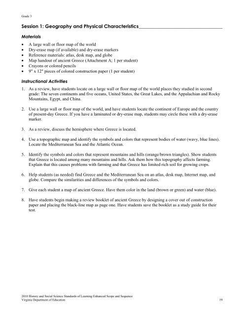
Grade 3<br />
Session 1: Geography <strong>and</strong> Physical Characteristics ___________________________________<br />
Materials<br />
A large wall or floor map <strong>of</strong> the world<br />
Dry-erase map (if available) <strong>and</strong> dry-erase markers<br />
Reference materials: atlas, desk map, <strong>and</strong> globe<br />
Map h<strong>and</strong>out <strong>of</strong> ancient Greece (Attachment A; 1 per student)<br />
Crayons or colored pencils<br />
9" x 12" pieces <strong>of</strong> colored construction paper (1 per student)<br />
Instructional Activities<br />
1. As a review, have students locate on a large wall or floor map <strong>of</strong> the world places they studied in second<br />
grade: The seven continents <strong>and</strong> five oceans, United States, the Great Lakes, <strong>and</strong> the Appalachian <strong>and</strong> Rocky<br />
Mountains, Egypt, <strong>and</strong> China.<br />
2. Use a large wall or floor map <strong>of</strong> the world, <strong>and</strong> have students locate the continent <strong>of</strong> Europe <strong>and</strong> the country<br />
<strong>of</strong> present-day Greece. If you have a laminated or dry-erase map, students may circle these with a dry-erase<br />
marker.<br />
3. As a review, discuss the hemisphere where Greece is located.<br />
4. Use a topographic map <strong>and</strong> identify the symbols <strong>and</strong> colors that represent bodies <strong>of</strong> water (wavy, blue lines).<br />
Locate the Mediterranean Sea <strong>and</strong> the Atlantic Ocean.<br />
5. Identify the symbols <strong>and</strong> colors that represent mountains <strong>and</strong> hills (orange/brown triangles). Show students<br />
that Greece is located among many mountains <strong>and</strong> hills. Ask them how this topography affects farming.<br />
Explain that this causes problems with farming <strong>and</strong> that Greece has limited rich soil for growing crops.<br />
6. Help students (as needed) find Greece <strong>and</strong> the Mediterranean Sea on an atlas, desk map, Internet map, <strong>and</strong><br />
globe. Compare the similarities <strong>and</strong> differences <strong>of</strong> the symbols <strong>and</strong> colors.<br />
7. Give each student a map <strong>of</strong> ancient Greece. Have them color in the l<strong>and</strong> (brown or green) <strong>and</strong> water (blue).<br />
8. Have students begin making a review booklet <strong>of</strong> ancient Greece by designing a cover out <strong>of</strong> construction<br />
paper <strong>and</strong> placing the black-line map as page one. Have students save the booklet as a study guide for their<br />
test.<br />
2010 History <strong>and</strong> Social Science St<strong>and</strong>ards <strong>of</strong> Learning <strong>Enhanced</strong> <strong>Scope</strong> <strong>and</strong> <strong>Sequence</strong><br />
<strong>Virginia</strong> <strong>Department</strong> <strong>of</strong> <strong>Education</strong> 19