Download PDF Copy - Pemsea
Download PDF Copy - Pemsea
Download PDF Copy - Pemsea

You also want an ePaper? Increase the reach of your titles
YUMPU automatically turns print PDFs into web optimized ePapers that Google loves.
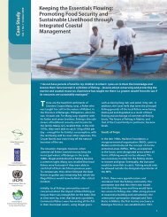
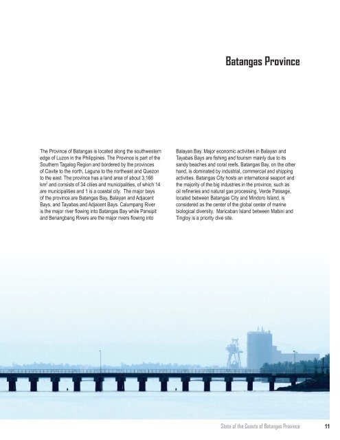
Batangas Province<br />
The Province of Batangas is located along the southwestern<br />
edge of Luzon in the Philippines. The Province is part of the<br />
Southern Tagalog Region and bordered by the provinces<br />
of Cavite to the north, Laguna to the northeast and Quezon<br />
to the east. The province has a land area of about 3,166<br />
km 2 and consists of 34 cities and municipalities, of which 14<br />
are municipalities and 1 is a coastal city. The major bays<br />
of the province are Batangas Bay, Balayan and Adjacent<br />
Bays, and Tayabas and Adjacent Bays. Calumpang River<br />
is the major river flowing into Batangas Bay while Pansipit<br />
and Benangbang Rivers are the major rivers flowing into<br />
Balayan Bay. Major economic activities in Balayan and<br />
Tayabas Bays are fishing and tourism mainly due to its<br />
sandy beaches and coral reefs. Batangas Bay, on the other<br />
hand, is dominated by industrial, commercial and shipping<br />
activities. Batangas City hosts an international seaport and<br />
the majority of the big industries in the province, such as<br />
oil refineries and natural gas processing. Verde Passage,<br />
located between Batangas City and Mindoro Island, is<br />
considered as the center of the global center of marine<br />
biological diversity. Maricaban Island between Mabini and<br />
Tingloy is a priority dive site.<br />
State of the Coasts of Batangas Province<br />
11