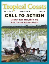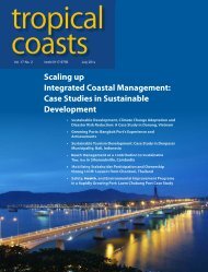
Download PDF Copy - Pemsea
Download PDF Copy - Pemsea
Download PDF Copy - Pemsea

Create successful ePaper yourself
Turn your PDF publications into a flip-book with our unique Google optimized e-Paper software.
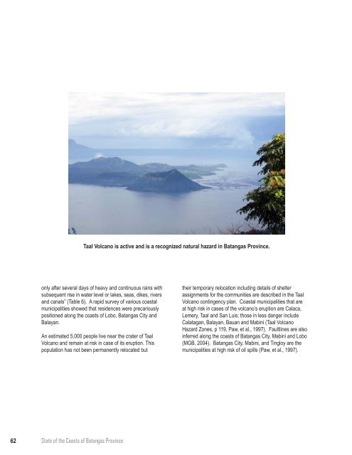
Taal Volcano is active and is a recognized natural hazard in Batangas Province.<br />
only after several days of heavy and continuous rains with<br />
subsequent rise in water level or lakes, seas, dikes, rivers<br />
and canals” (Table 6). A rapid survey of various coastal<br />
municipalities showed that residences were precariously<br />
positioned along the coasts of Lobo, Batangas City and<br />
Balayan.<br />
An estimated 5,000 people live near the crater of Taal<br />
Volcano and remain at risk in case of its eruption. This<br />
population has not been permanently relocated but<br />
their temporary relocation including details of shelter<br />
assignments for the communities are described in the Taal<br />
Volcano contingency plan. Coastal municipalities that are<br />
at high risk in cases of the volcano’s eruption are Calaca,<br />
Lemery, Taal and San Luis; those in less danger include<br />
Calatagan, Balayan, Bauan and Mabini (Taal Volcano<br />
Hazard Zones, p 119, Paw, et al., 1997). Faultlines are also<br />
inferred along the coasts of Batangas City, Mabini and Lobo<br />
(MGB, 2004). Batangas City, Mabini, and Tingloy are the<br />
municipalities at high risk of oil spills (Paw, et al., 1997).<br />
62 State of the Coasts of Batangas Province