Download full report in pdf format - Natural Resources Institute
Download full report in pdf format - Natural Resources Institute
Download full report in pdf format - Natural Resources Institute

You also want an ePaper? Increase the reach of your titles
YUMPU automatically turns print PDFs into web optimized ePapers that Google loves.
For the well surveys, staff of the Andhra<br />
Pradesh Groundwater Department (APGWD)<br />
with the help of villagers visited all the wells <strong>in</strong> the<br />
village area and collected data that <strong>in</strong>cluded: type<br />
of well, use of well, dimensions of well, year of<br />
construction, area irrigated, pump capacity and<br />
discharge of well, reliability of well, latitude and<br />
longitude and survey number. Water samples<br />
were collected from each well and sent to the<br />
CSWCRTI or APGWD laboratories <strong>in</strong> Kurnool<br />
<strong>in</strong> the cases of Kalyandurg and Dhone respectively.<br />
Follow-up water sampl<strong>in</strong>g and fluoride analysis<br />
were carried out <strong>in</strong> four villages <strong>in</strong> Kalyandurg<br />
by staff <strong>in</strong>volved <strong>in</strong> the WHiRL Project.<br />
In the ma<strong>in</strong>, cropp<strong>in</strong>g statistics were collected<br />
from the Mandal Revenue officer. Details of land<br />
hold<strong>in</strong>gs were collected from the National<br />
In<strong>format</strong>ics Centre. Ra<strong>in</strong>fall data were collected<br />
from the Andhra Pradesh Groundwater<br />
Department and Chief Plann<strong>in</strong>g Officers <strong>in</strong><br />
Kurnool and Anantapur.<br />
2.4 Analysis of<br />
remotely-sensed data<br />
Cloud-free satellite data of February-March<br />
2001 of Indian Remote Sens<strong>in</strong>g Satellite (IRS)-<br />
1C/1D (PAN and LISS-III) were used as the ma<strong>in</strong><br />
source of remotely-sensed data. Once analysed,<br />
these data were reconciled with the relevant<br />
terrestrial spatial data. F<strong>in</strong>al mapp<strong>in</strong>g was done on<br />
1:50,000 scale. Cadastral maps at the 1:8,000<br />
scale were digitised and mosaics of these were<br />
created to extract the village, cadastral and<br />
mandal maps. Well locations, dra<strong>in</strong>ages patterns,<br />
check dams, gullies and embankments were also<br />
digitised from cadastral maps which had been<br />
annotated by the field teams. Watersheds, subwatersheds,<br />
m<strong>in</strong>i-watersheds and microwatersheds<br />
were del<strong>in</strong>eated and digitised us<strong>in</strong>g<br />
the Survey of India topographical maps.<br />
The land use/land cover themes were prepared<br />
us<strong>in</strong>g the follow<strong>in</strong>g data analysis procedures.<br />
Onscreen <strong>in</strong>terpretation (based on tone/colour,<br />
texture, pattern, shape, size, location, shadow,<br />
association) of satellite image and its digitisation<br />
was performed us<strong>in</strong>g Erdas Imag<strong>in</strong>e Software.<br />
Before <strong>in</strong>terpretation and analysis of the satellite<br />
imagery, the satellite image was rectified and<br />
resampled us<strong>in</strong>g a 1 st order polynomial<br />
trans<strong>format</strong>ion model and a bil<strong>in</strong>ear <strong>in</strong>terpolation<br />
algorithm respectively. To perform the same, the<br />
ground control po<strong>in</strong>ts were taken from<br />
topographical maps and used with relevant GPS<br />
data sets to achieve sub-meter RMS accuracy. For<br />
better <strong>in</strong>terpretation, high resolution capability of<br />
PAN data and multi-spectral advantage of LISS-<br />
III data were fused us<strong>in</strong>g Brovey Trans<strong>format</strong>ion<br />
Model and Bil<strong>in</strong>ear Interpolation resampl<strong>in</strong>g<br />
algorithm to generate the merged image.<br />
This merged image was used for <strong>in</strong>terpretation/<br />
analysis. The steps taken are presented<br />
schematically <strong>in</strong> Figure 4.<br />
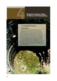
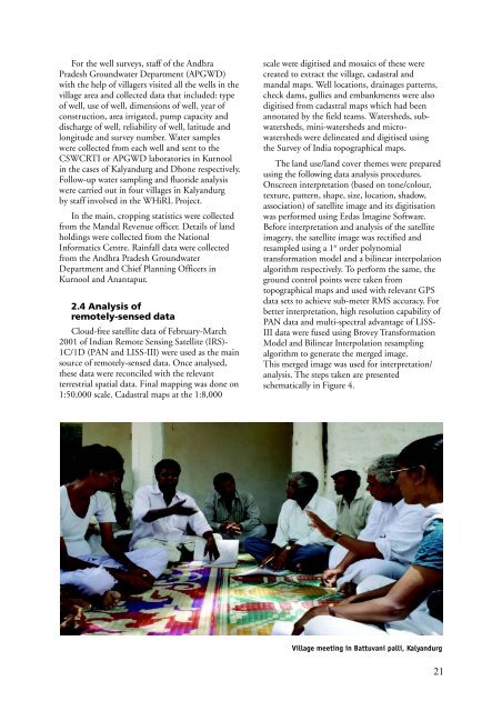
Village meet<strong>in</strong>g <strong>in</strong> Battuvani palli, Kalyandurg<br />
21