Download full report in pdf format - Natural Resources Institute
Download full report in pdf format - Natural Resources Institute
Download full report in pdf format - Natural Resources Institute

You also want an ePaper? Increase the reach of your titles
YUMPU automatically turns print PDFs into web optimized ePapers that Google loves.
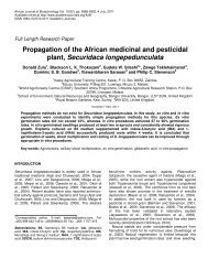
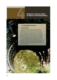
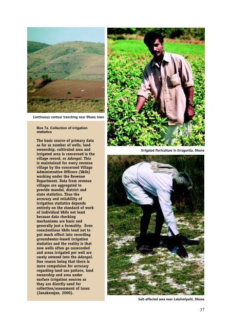
Cont<strong>in</strong>uous contour trench<strong>in</strong>g near Dhone town<br />
Box 7a. Collection of irrigation<br />
statistics<br />
The basic source of primary data<br />
as far as number of wells, land<br />
ownership, cultivated area and<br />
irrigated area is concerned is the<br />
village record, or Adangal. This<br />
is ma<strong>in</strong>ta<strong>in</strong>ed for every revenue<br />
village by the concerned Village<br />
Adm<strong>in</strong>istrative Officers (VAOs)<br />
work<strong>in</strong>g under the Revenue<br />
Department. Data from revenue<br />
villages are aggregated to<br />
provide mandal, district and<br />
state statistics. Thus the<br />
accuracy and reliability of<br />
irrigation statistics depends<br />
entirely on the standard of work<br />
of <strong>in</strong>dividual VAOs not least<br />
because data check<strong>in</strong>g<br />
mechanisms are basic and<br />
generally just a formality. Even<br />
conscientious VAOs tend not to<br />
put much effort <strong>in</strong>to record<strong>in</strong>g<br />
groundwater-based irrigation<br />
statistics and the reality is that<br />
new wells often go unrecorded<br />
and areas irrigated per well are<br />
rarely entered <strong>in</strong>to the Adangal.<br />
One reason be<strong>in</strong>g that there is<br />
more compulsion for accuracy<br />
regard<strong>in</strong>g land use pattern, land<br />
ownership and area under<br />
surface irrigation sources as<br />
they are directly used for<br />
collection/assessment of taxes<br />
(Janakarajan, 2000).<br />
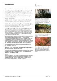
Irrigated floriculture <strong>in</strong> Erraguntla, Dhone<br />
Salt-affected area near Lakshmipalli, Dhone<br />
37