cabarrus county board of commissioners regular meeting november ...
cabarrus county board of commissioners regular meeting november ...
cabarrus county board of commissioners regular meeting november ...
Create successful ePaper yourself
Turn your PDF publications into a flip-book with our unique Google optimized e-Paper software.
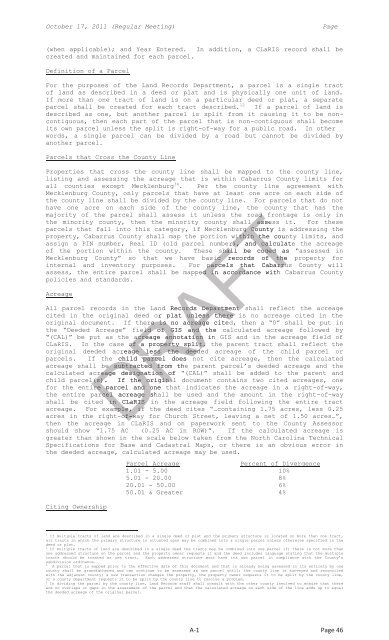
October 17, 2011 (Regular Meeting)Page(when applicable); and Year Entered. In addition, a CLaRIS record shall becreated and maintained for each parcel.Definition <strong>of</strong> a ParcelFor the purposes <strong>of</strong> the Land Records Department, a parcel is a single tract<strong>of</strong> land as described in a deed or plat and is physically one unit <strong>of</strong> land.If more than one tract <strong>of</strong> land is on a particular deed or plat, a separateparcel shall be created for each tract described. 12 If a parcel <strong>of</strong> land isdescribed as one, but another parcel is split from it causing it to be noncontiguous,then each part <strong>of</strong> the parcel that is non-contiguous shall becomeits own parcel unless the split is right-<strong>of</strong>-way for a public road. In otherwords, a single parcel can be divided by a road but cannot be divided byanother parcel.Parcels that Cross the County LineProperties that cross the <strong>county</strong> line shall be mapped to the <strong>county</strong> line,listing and assessing the acreage that is within Cabarrus County limits forall counties except Mecklenburg 34 . Per the <strong>county</strong> line agreement withMecklenburg County, only parcels that have at least one acre on each side <strong>of</strong>the <strong>county</strong> line shall be divided by the <strong>county</strong> line. For parcels that do nothave one acre on each side <strong>of</strong> the <strong>county</strong> line, the <strong>county</strong> that has themajority <strong>of</strong> the parcel shall assess it unless the road frontage is only inthe minority <strong>county</strong>, then the minority <strong>county</strong> shall l assess it. For theseparcels that fall into this category, if Mecklenburg County is addressing theproperty, Cabarrus County shall map the portion within the <strong>county</strong> limits, andassign a PIN number, Real ID (old parcel number), and calculatethe acreage<strong>of</strong> the portion within the <strong>county</strong>. These shall be codedas “assessed inMecklenburg County” so that we have basic records rds <strong>of</strong> theproperty forinternal and inventory purposes. For parcels that Cabarrus County willassess, the entire parcel shall be mapped in accordance with Cabarrus Countypolicies and standards.AcreageAll parcel records in the Land Records Departmentshall reflect the acreagecited in the original deed or plat unless there is no acreage cited in theoriginal document. If there is no acreage cited, then a “0” shall be put inthe “Deeded Acreage” field <strong>of</strong> GIS andthe calculated acreage followed by“(CAL)” be put as the acreage annotationin GIS and in the acreage field <strong>of</strong>CLaRIS. In the case <strong>of</strong> a property split, the parent tract shall reflect theoriginal deeded acreage less the deeded acreage <strong>of</strong> the child parcel orparcels. If the child parcel does not cite acreage, then the calculatedacreage shall be subtracted from the parent parcel’s deeded acreage and thecalculated acreage designation <strong>of</strong>“(CAL)” shall be added to the parent andchild parcel(s).If the original document contains two cited acreages, onefor the entire parcel and onethat indicates the acreage in a right-<strong>of</strong>-way,the entire parcel acreageshall be used and the amount in the right-<strong>of</strong>-wayshall be cited in CLaRIS in the acreage field following the entire tractacreage. For example, if the deed cites “…containing 1.75 acres, less 0.25acres in the right-<strong>of</strong>-way for Church Street, leaving a net <strong>of</strong> 1.50 acres…”,then the acreage in CLaRIS and on paperwork sent to the County Assessorshould show “1.75 AC (0.25 AC in ROW)”. If the calculated acreage isgreater than shown in the scale below taken from the North Carolina TechnicalSpecifications for Base and Cadastral Maps, or there is an obvious error inthe deeded acreage, calculated acreage may be used.Citing OwnershipDRAFTParcel AcreagePercent <strong>of</strong> Divergence1.01 - 5.00 10%5.01 - 20.00 8%20.01 - 50.00 6%50.01 & Greater 4%1 If multiple tracts <strong>of</strong> land are described in a single deed or plat and the primary structure is located on more than one tract,all tracts in which the primary structure is situated upon may be combined into a single parcel unless otherwise specified in thedeed or plat.2 If multiple tracts <strong>of</strong> land are described in a single deed the tracts may be combined into one parcel if; there is not more thanone addressed structure on the parcel and the property owner requests it and the deed includes language stating that the multipletracts should be treated as one tract. Each addressed structure must have its own parcel in compliance with the County’ssubdivision ordinance.3A parcel that is mapped prior to the effective date <strong>of</strong> this document and that is already being assessed in its entirety by one<strong>county</strong> shall be grandfathered and can continue to be assessed as one parcel until: the <strong>county</strong> line is surveyed and reconciledwith the adjacent <strong>county</strong>; a new transaction changes the property, the property owner requests it to be split by the <strong>county</strong> line,or a <strong>county</strong> department requests it to be split by the <strong>county</strong> line to resolve a problem.4 In dividing the parcel by the <strong>county</strong> line, Land Records staff shall consult with the other <strong>county</strong> involved to ensure that thereare no overlaps or gaps in the assessment <strong>of</strong> the parcel and that the calculated acreage on each side <strong>of</strong> the line adds up to equalthe deeded acreage <strong>of</strong> the original parcel.A-1Page 46


